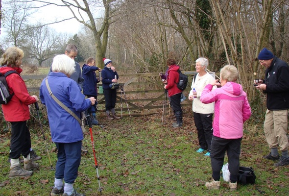
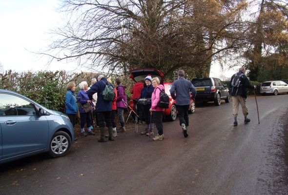
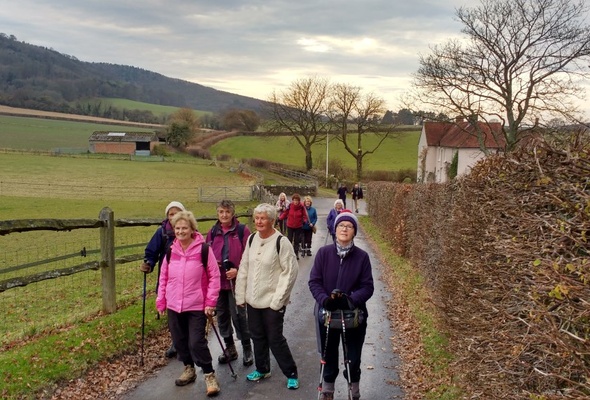
Graffham Day Walk 7th December 2016
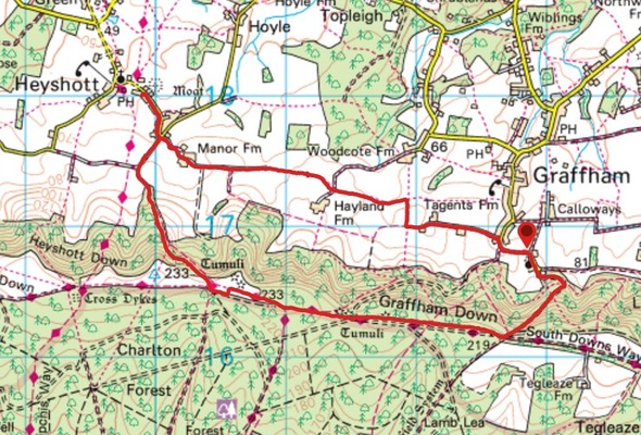
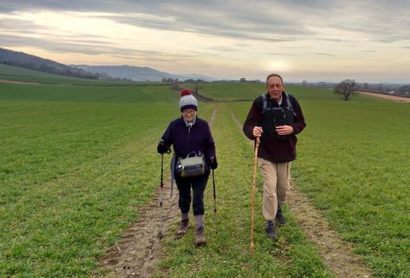
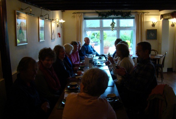
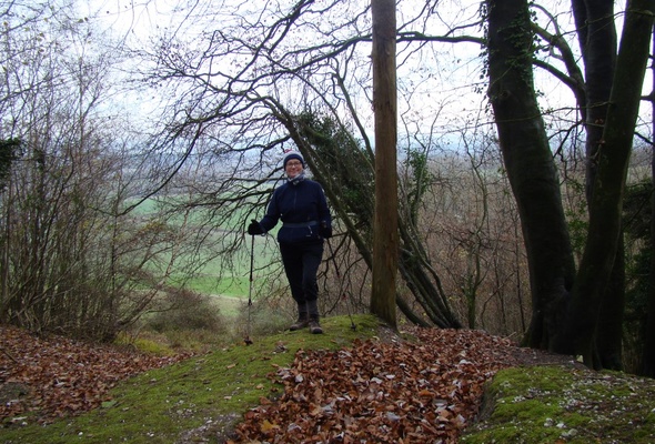
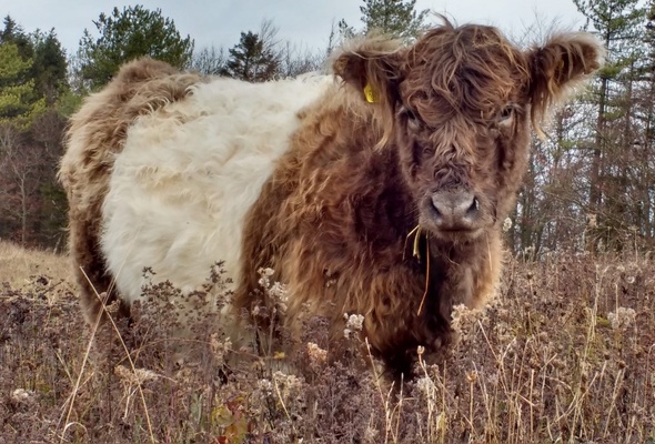
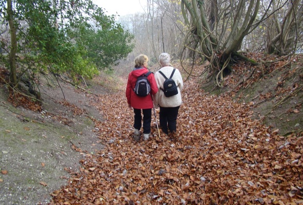
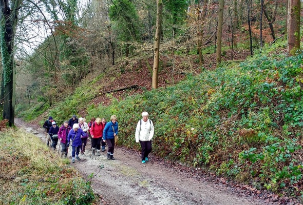
We had a long climb up to the top of the Downs above Graffham, then walked along The Southdowns Way and admired some Belted Galloways before descending to The Unicorn for some well-earned food. Returning to Graffham Church along paths at the base of the hill was a lot easier. The walk was 5.7 miles with 820ft altitude gained.
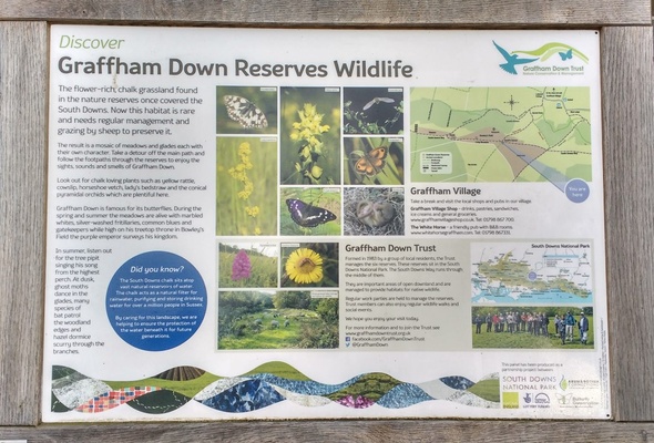
The top of the hill was the home of the Bronze Age people who some believe would rarely venture down into the dangerous wooded plains below, where wolves, bears and huge wild cattle roamed. There are plenty of features on the hill labelled on the OS map as Cross Dykes. The reason why the Cross Dykes were created is uncertain - they may have been created for territory marking, cattle droveways or defensive earthworks. Also the area is rich in barrows and the depressions on some barrows are either from archeological excavation or where the Canadians placed guns during WWII. However, further damage is unlikely as the barrows and cross-dykes are now covered by the Ancient Monuments and Archaeological Areas Act 1979.
Recent galleries
- Stedham walk on 26th March 2025
- Fittleworth walk on 19th March 2025
- Milland walk on 15th March 2025
- Harting and Beacon Hill walk on 8th March 2025
- Frensham walk on 26th February 2025
History
2025
2024
- December (3)
- November (5)
- October (4)
- September (4)
- August (4)
- July (4)
- June (5)
- May (5)
- April (5)
- March (5)
- February (5)
- January (4)
2023
- December (3)
- November (6)
- October (5)
- September (5)
- August (3)
- July (4)
- June (6)
- May (5)
- April (4)
- March (5)
- February (4)
- January (4)
2022
- December (4)
- November (5)
- October (5)
- September (3)
- August (4)
- July (6)
- June (11)
- May (4)
- April (5)
- March (4)
- February (5)
- January (4)
2021
2020
- December (4)
- November (1)
- October (5)
- September (4)
- August (3)
- July (3)
- March (2)
- February (5)
- January (3)
2019
- December (2)
- November (5)
- October (4)
- September (3)
- August (4)
- July (4)
- June (11)
- May (5)
- April (4)
- March (3)
- February (5)
- January (5)
2018
- December (2)
- November (4)
- October (4)
- September (5)
- August (4)
- July (3)
- June (5)
- May (8)
- April (4)
- March (4)
- February (5)
- January (3)
2017
- December (3)
- November (5)
- October (3)
- September (4)
- August (4)
- July (4)
- June (11)
- May (4)
- April (4)
- March (3)
- February (4)
- January (5)
2016
- December (3)
- November (4)
- October (5)
- September (4)
- August (3)
- July (6)
- June (11)
- May (4)
- April (5)
- March (3)
- February (10)
- January (2)
2015
2014
- June (2)
1997
- February (1)
