Gallery (Click on titles!)
Viewing galleries from May, 2023
Duncton walk on 24th May 2023
Jennifer organised the 5.5 mile walk, corralling us at The Badgers Inn in Duncton, shepherding us up to the viewpoint over Fryan’s Hanger and then cat herding us to start the walk after admiring the view. We walked west through the woods at the edge of Woolavington Down overlooking Seaford College until we reached the Southdowns Way. Turning off the Way shortly down into the woodland of Tegleaze where we tried our hand at cutting a tree trunk across the path. The serious gardeners demonstrated the worth of their chosen implements to clear the way of intruding plant growth onto the paths. Our morning coffee break was a dispersed affair, each person seeking out their comfortable seat for the break. The return leg took us through woodland and fields at Waltham Down and the edge of Heath Hanger before more woodland at Crown Teglaze where we crossed the Southdowns Way again, by ancient burial mounds. We descended through Stickingspit Bottom past the working Chalk pit and back to the viewing point. There was an orderly scramble back to The Badgers Inn where a delicious lunch was consumed outside in the glorious sunshine.
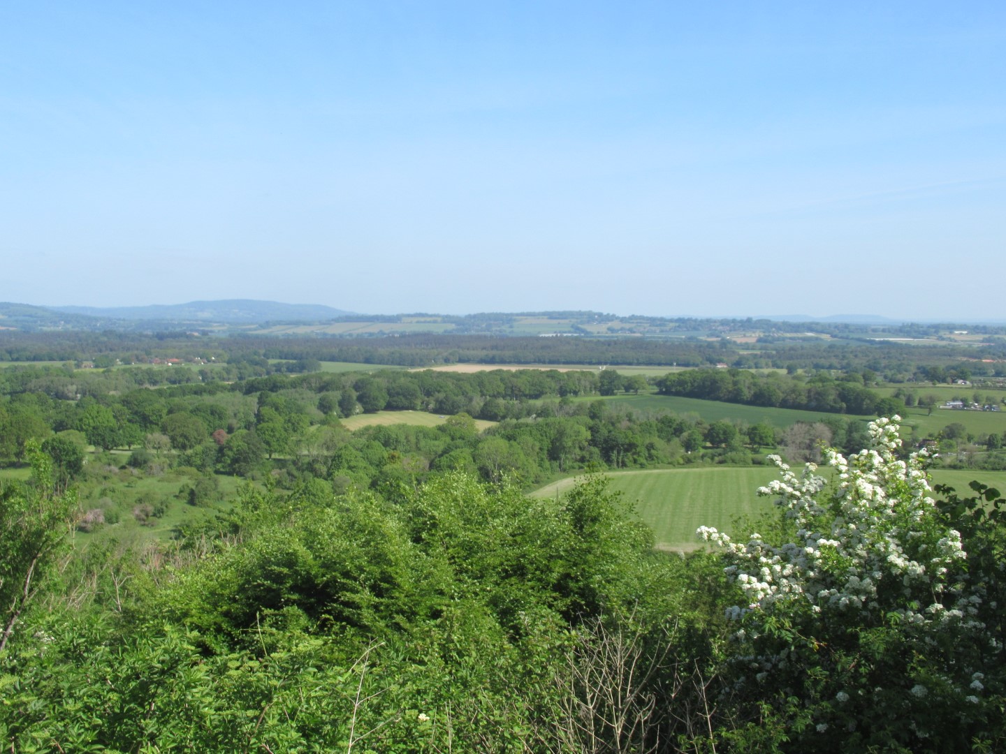
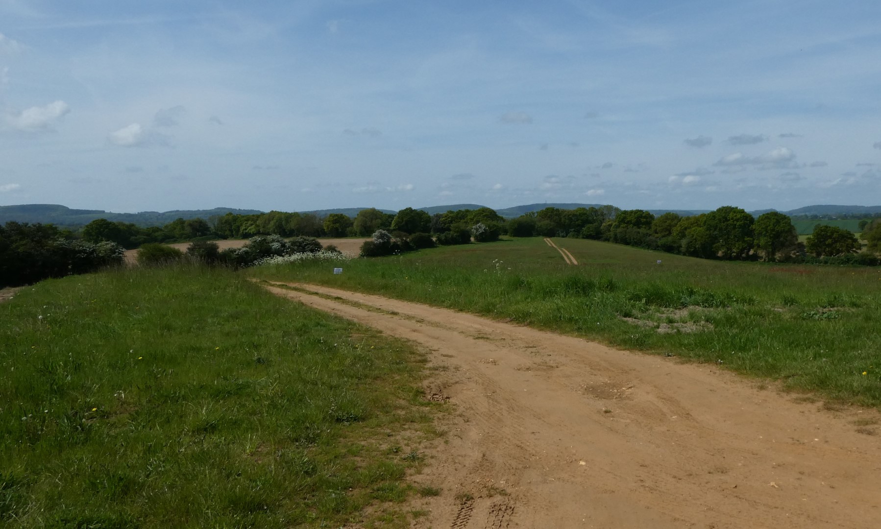
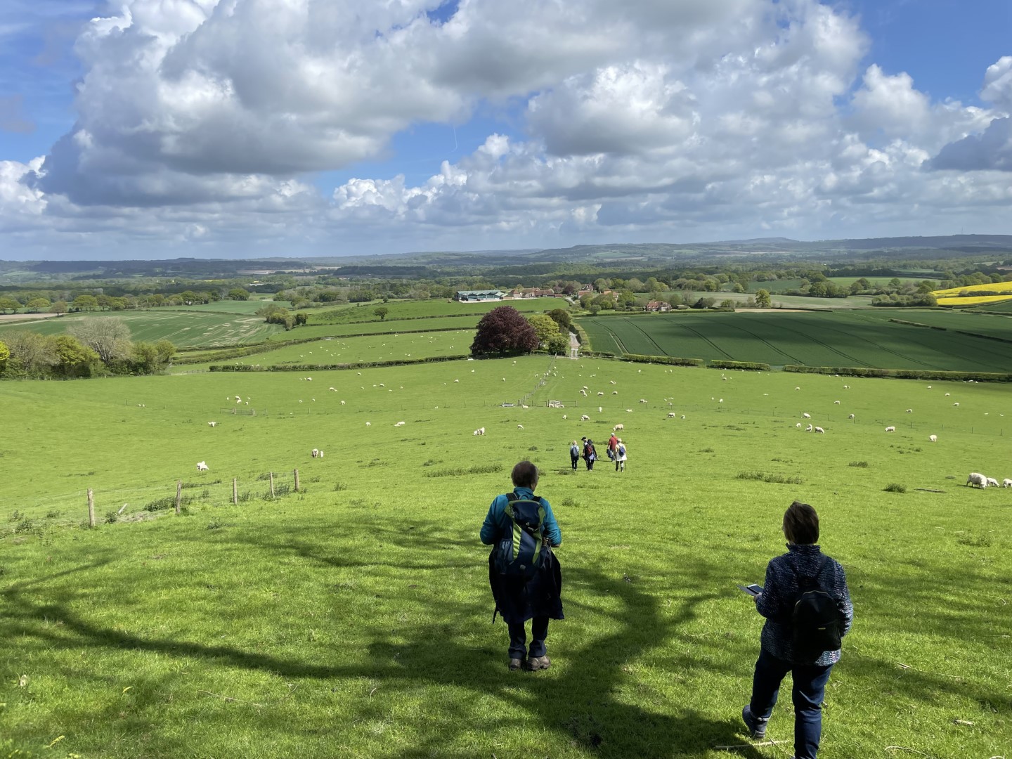
The view over Fryan’s Hanger
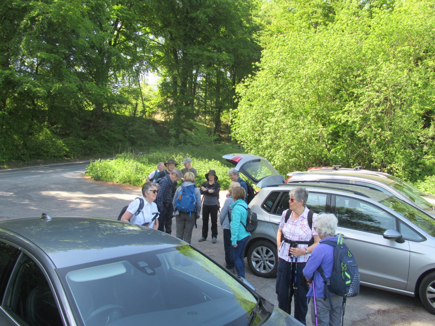
Cat herding in action
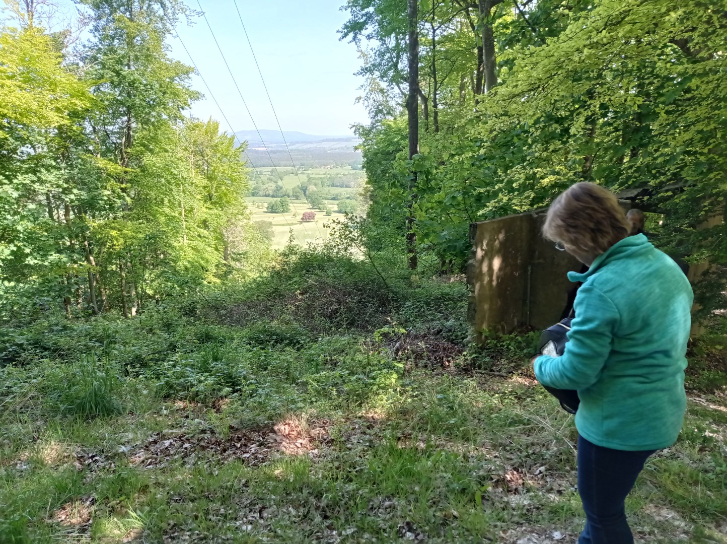
Another view over Fryan's Hanger, but that's unfortunately not a ski lift.
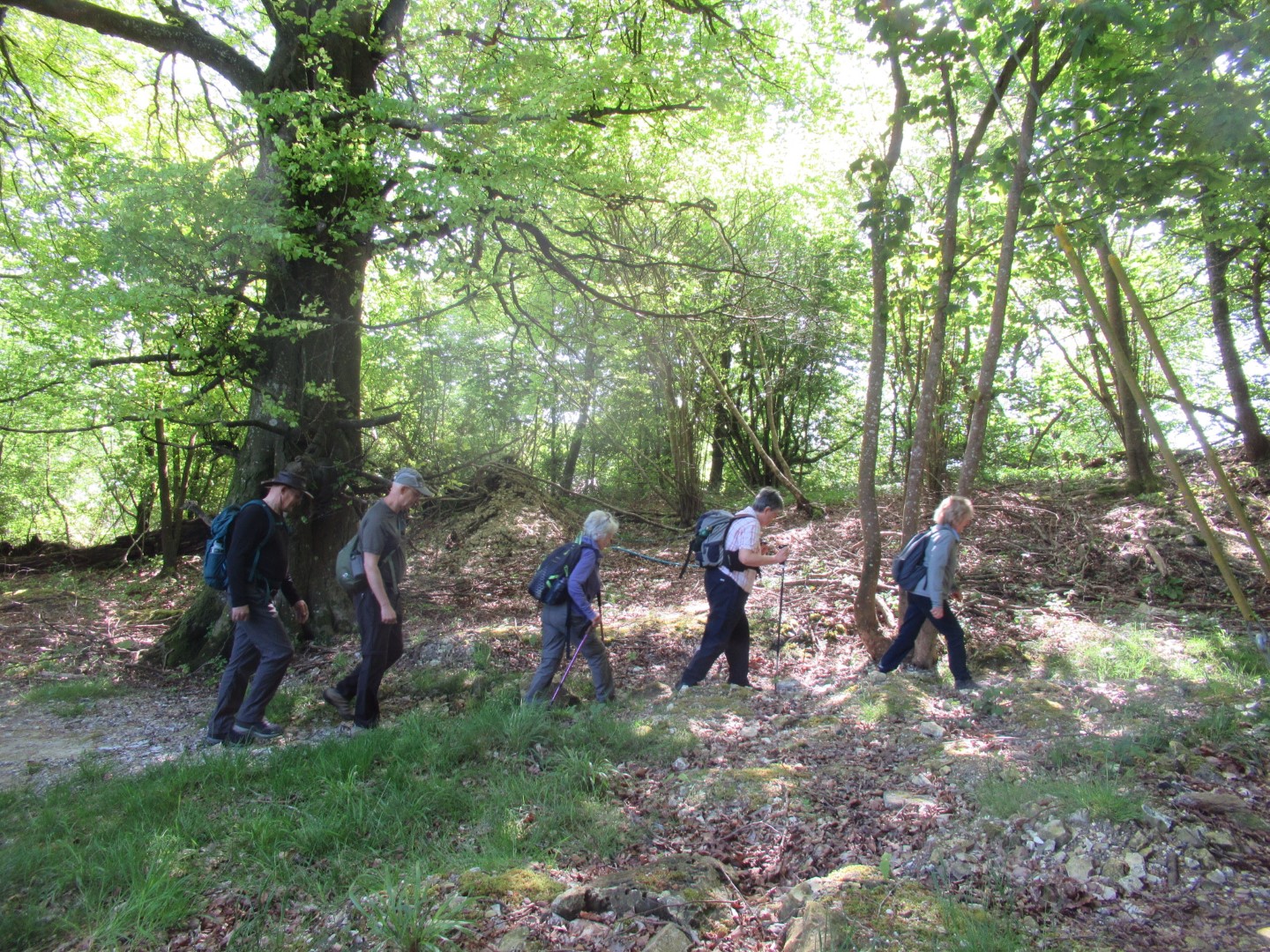
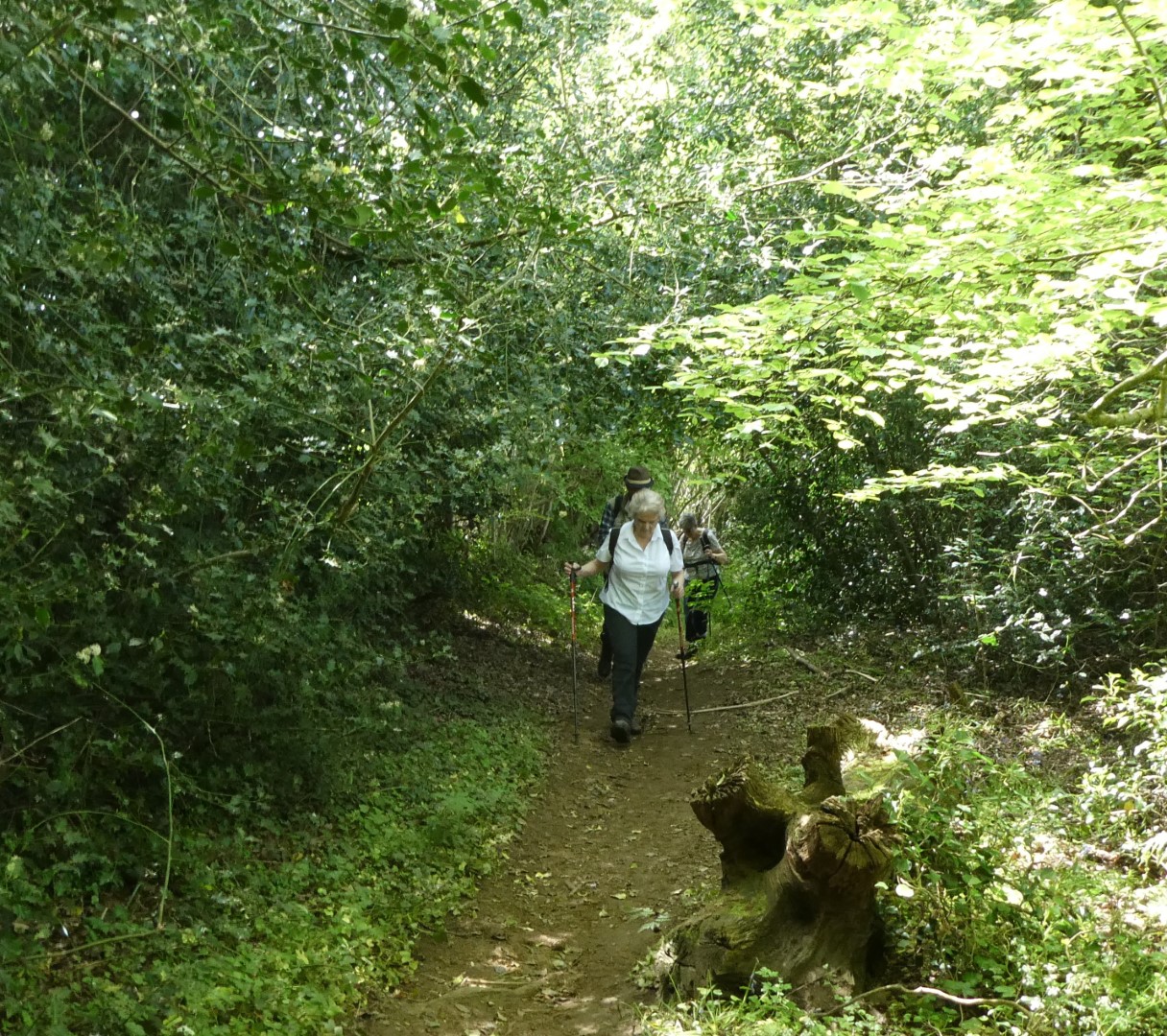
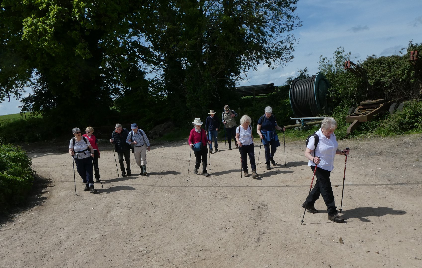
Hi Ho, Hi Ho, it's off to walk we go……
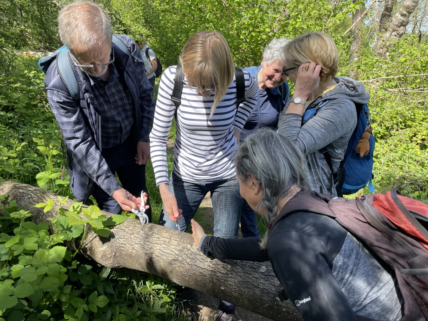
Look, it’s much better when you use a hand saw
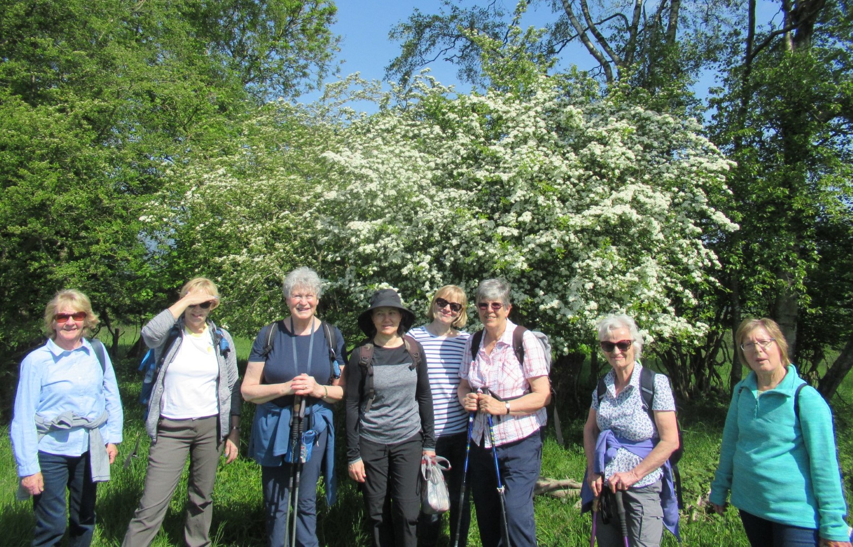
Spring flowers
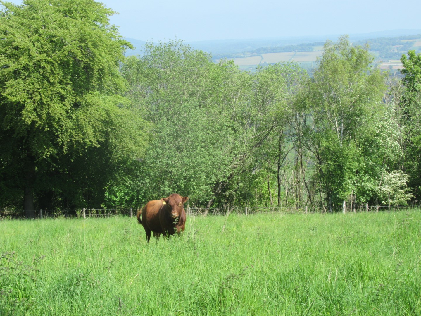
Lone cow on Woolavington Down
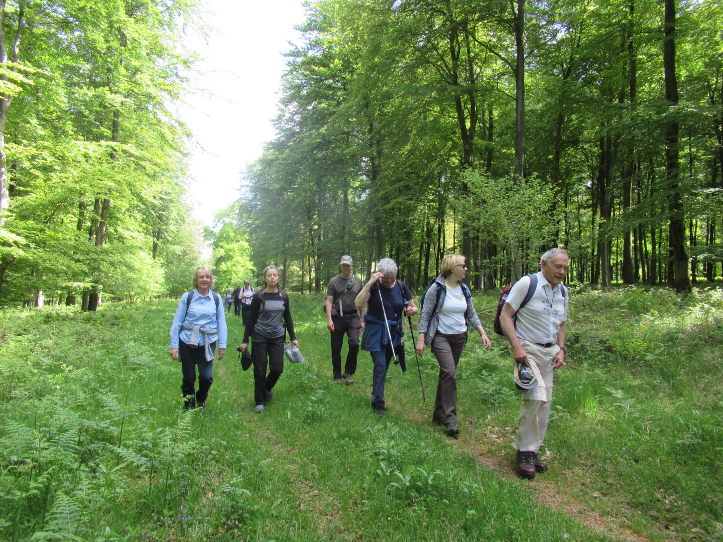
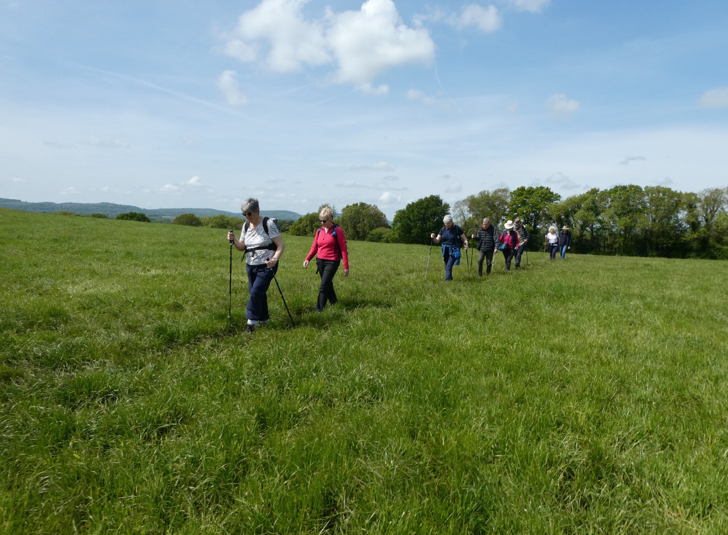
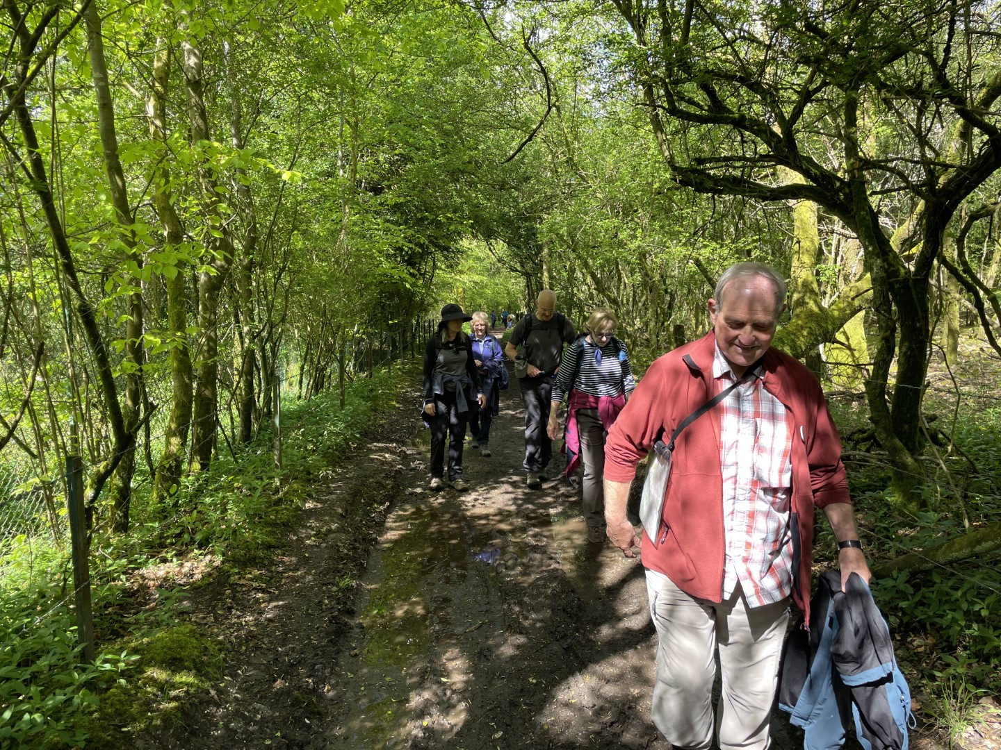
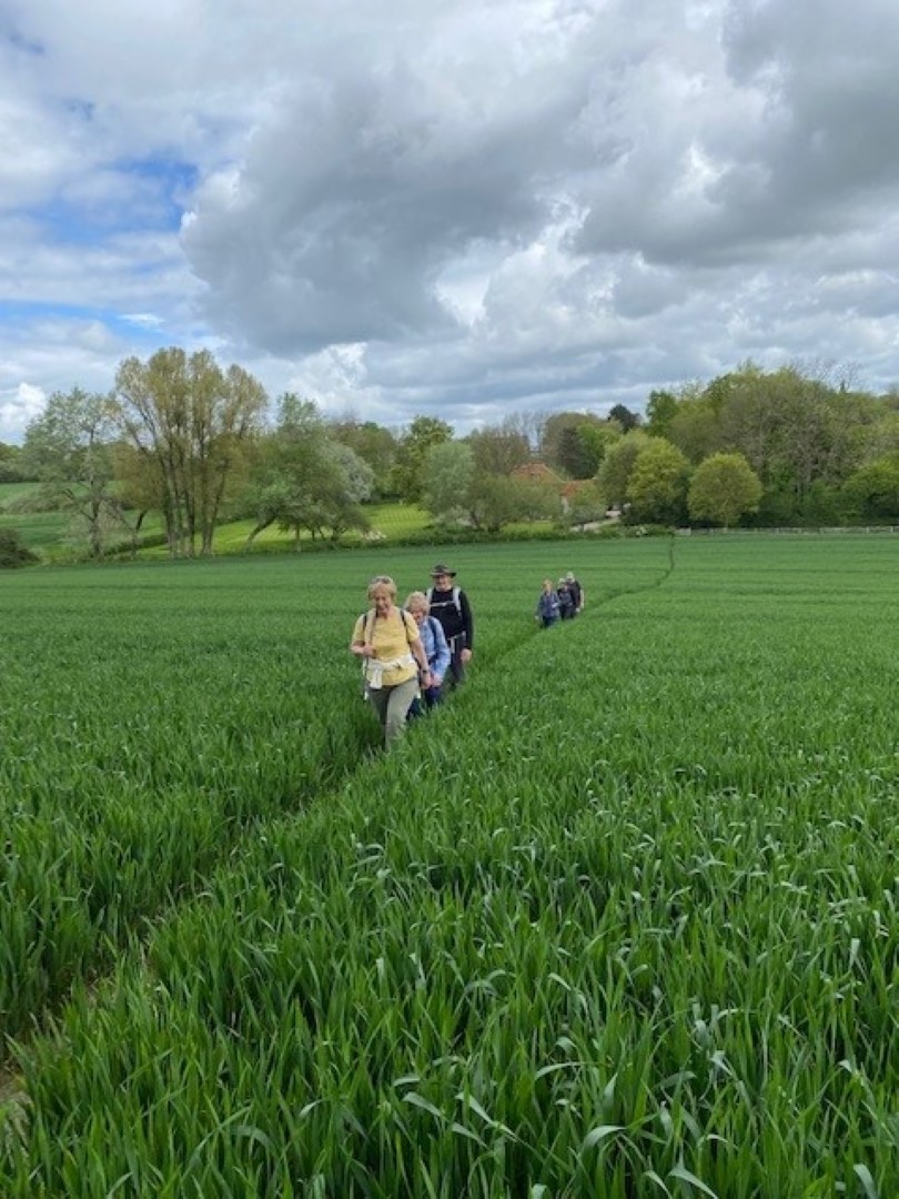
Striding purposefully
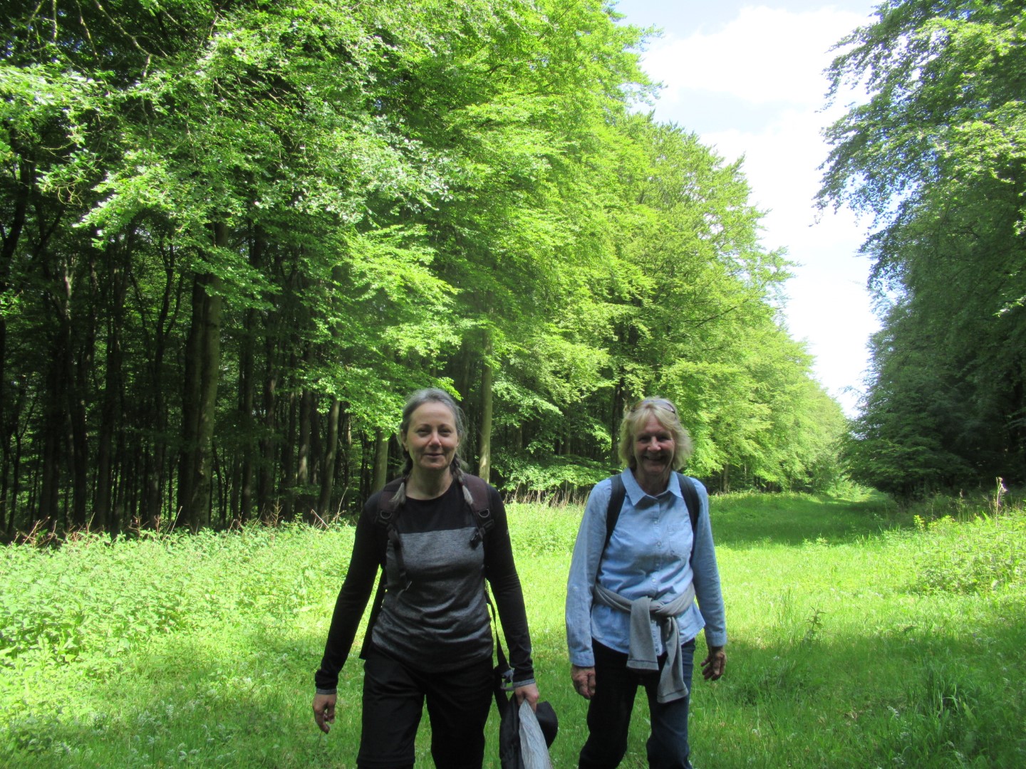
The joy of sunshine and the fresh greenery of spring
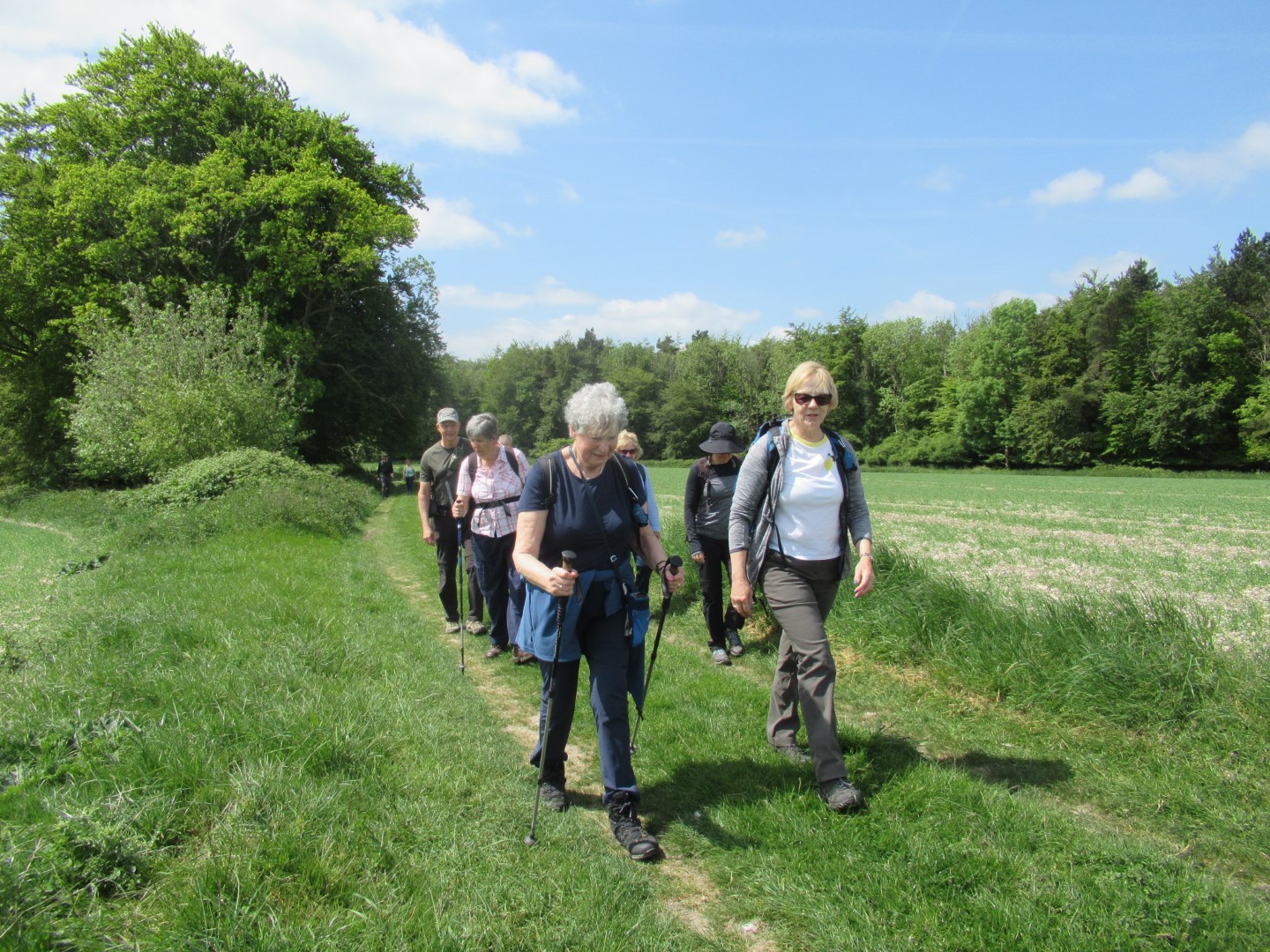
Revitalised after the coffee break
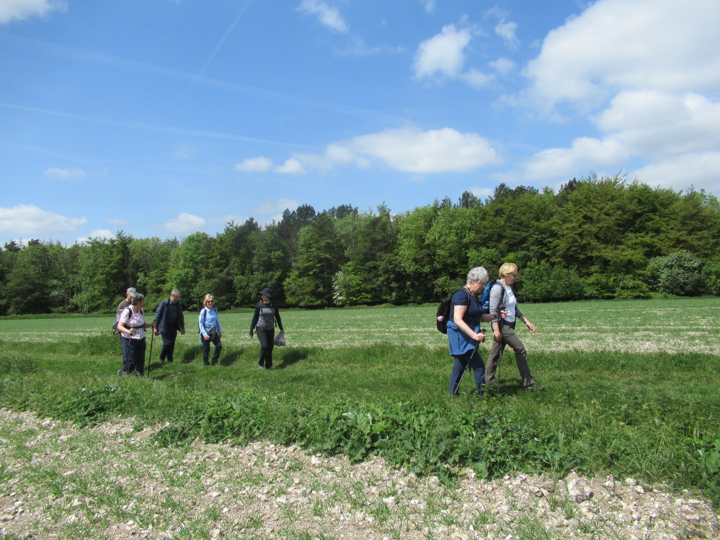
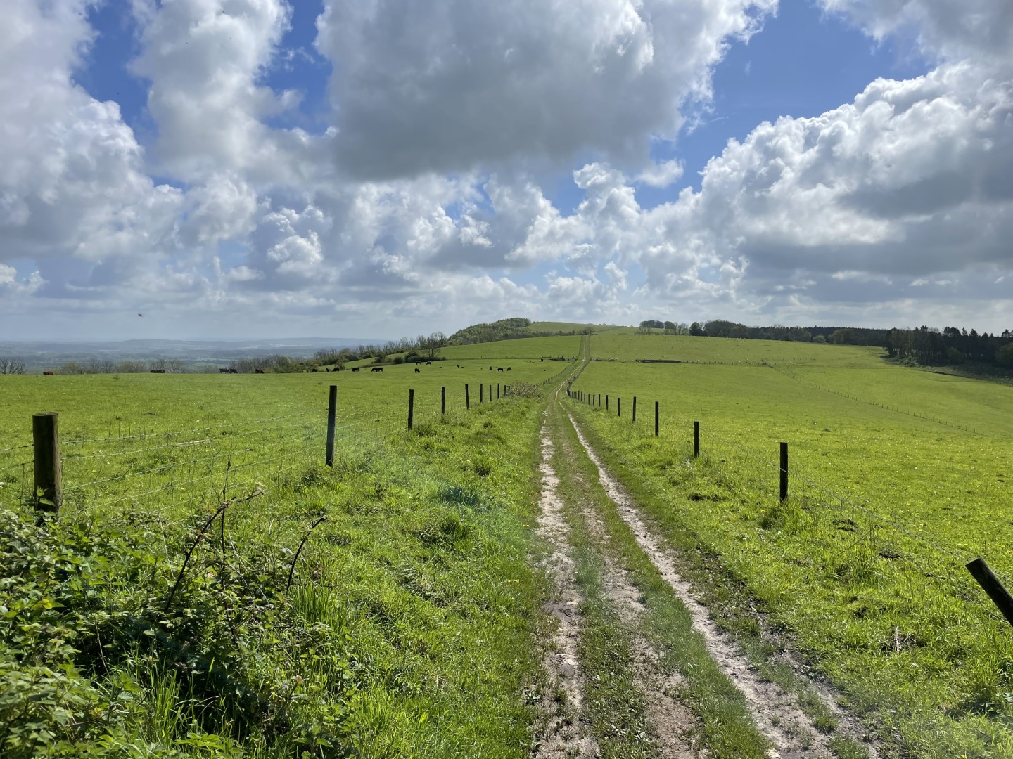
Walking amongst the chalk and flint in the fields
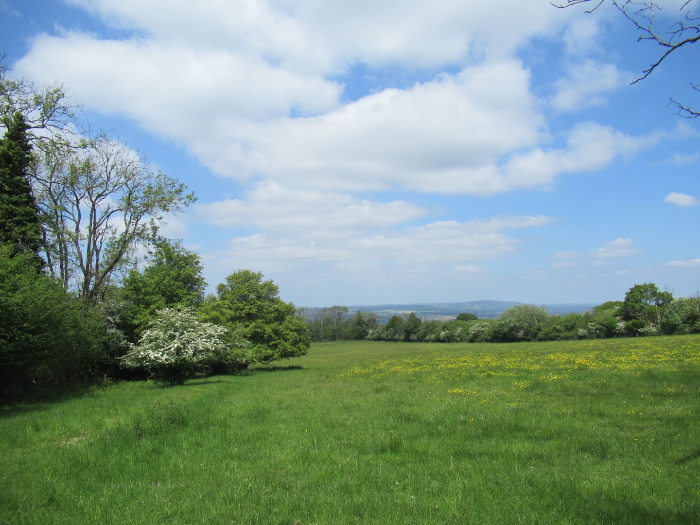
Great views
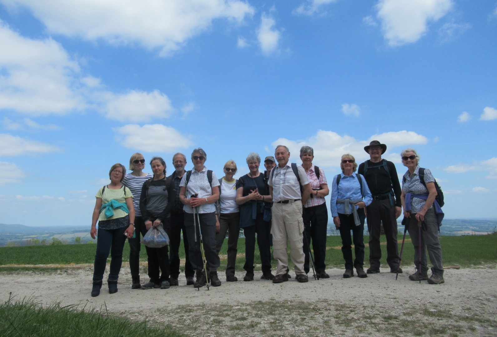
The cats, herded together on the South Downs Way
.png)
The route
Rogate walk on 17th May 2023
Seventeen walkers met on Wednesday morning at The Jolly Drovers pub in beautiful sunny weather. Isabel's group of six set off first, following the Sussex Border Path, which is 136 miles long and follows the Sussex border as it meets Hampshire, Surrey and Kent and finishes in Rye in East Sussex. We only managed a very short part of the path and turned just before reaching Durleighmarsh Farm, where there is a farm shop, a pick your own area and a very good cafe, but we were carrying our own refreshments, so carried on passing large fields growing asparagus, which is sold commercially and also in some of our local shops. We enjoyed the lovely views over the Downs and walked up the drive to Rogate Lodge, where we found a comfortable wall to have our coffee break. Suitably refreshed, we made our way uphill through the trees at the edge of Rogate Common, eventually crossing over a road to Tullecombe and then onto Combe Hill. We paused here to view the cycle runs, which go down really scary jumps. We decided it was not for us and made our way back to the Jolly Drovers for lunch, where we joined Tim's group.
Tim led the rest of the group, who enjoyed a more leisurely amble down the Sussex Border Path but took a short cut past Carrolls Lodge and onto Tipsall where we managed to find a few perches for a coffee stop. From there we headed north back to the pub past Rogate Common and Long Bottom. This walk was somewhat shorter at around 3.1/4 miles, whilst Isabel's group walked around 5.1/2. I think we all appreciated the beautiful trees, especially being grateful at times for the shade.
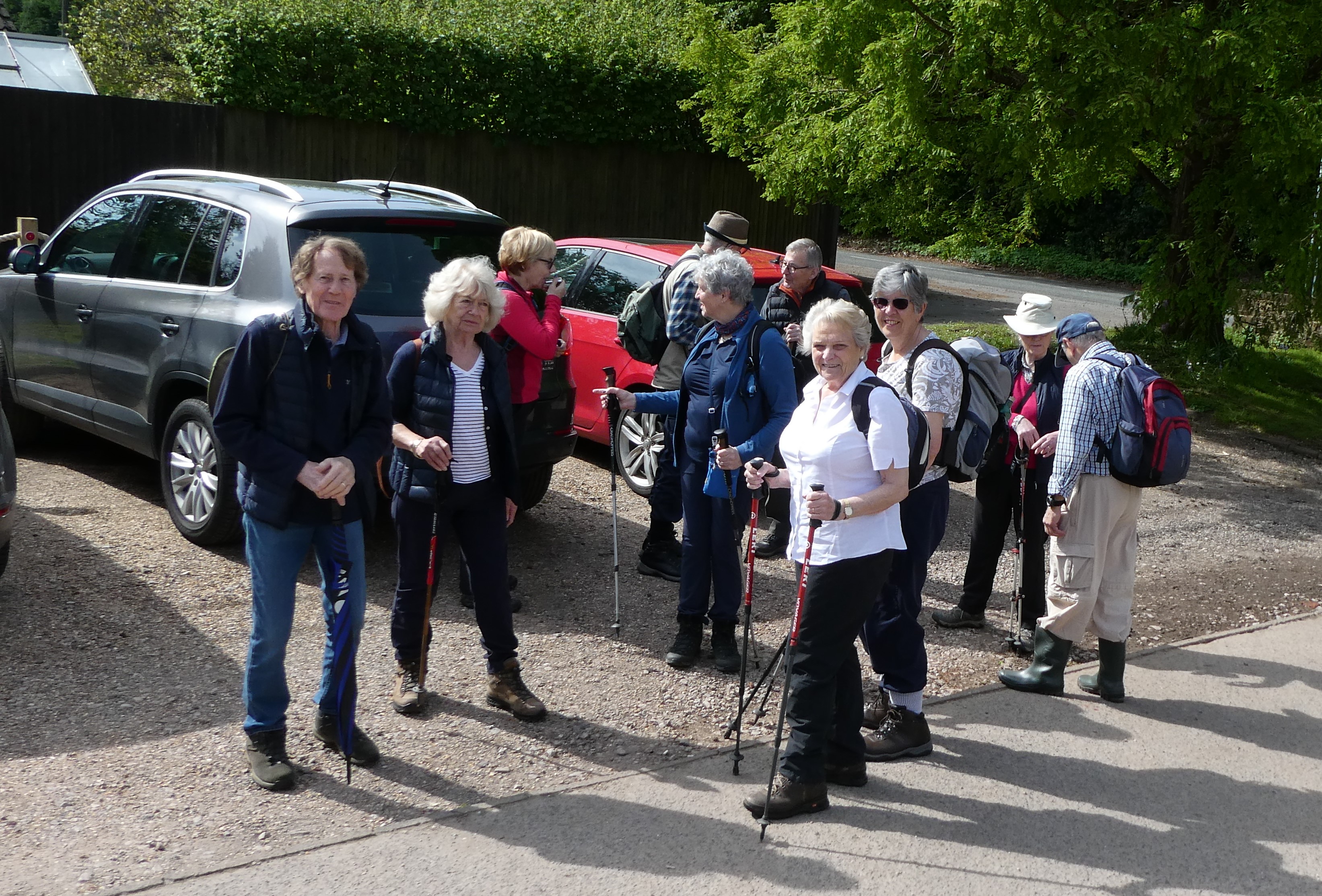
Long walkers have already departed, we're in no rush!
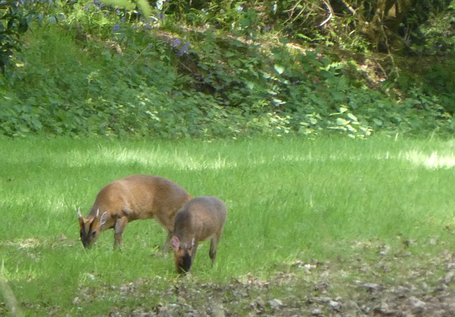
Deer spotted in the grounds of the De La Salle Brothers. History can be found on Wikipedia.
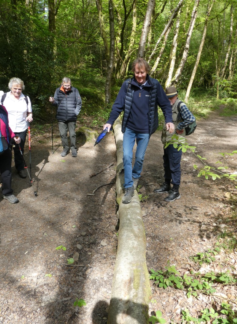
Some walkers are less unbalanced than others
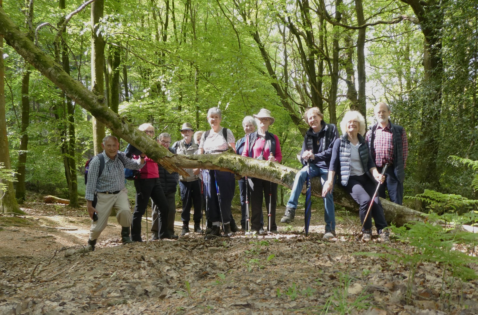
The Sussex Border path has a few obstacles along the way
Durford Wood

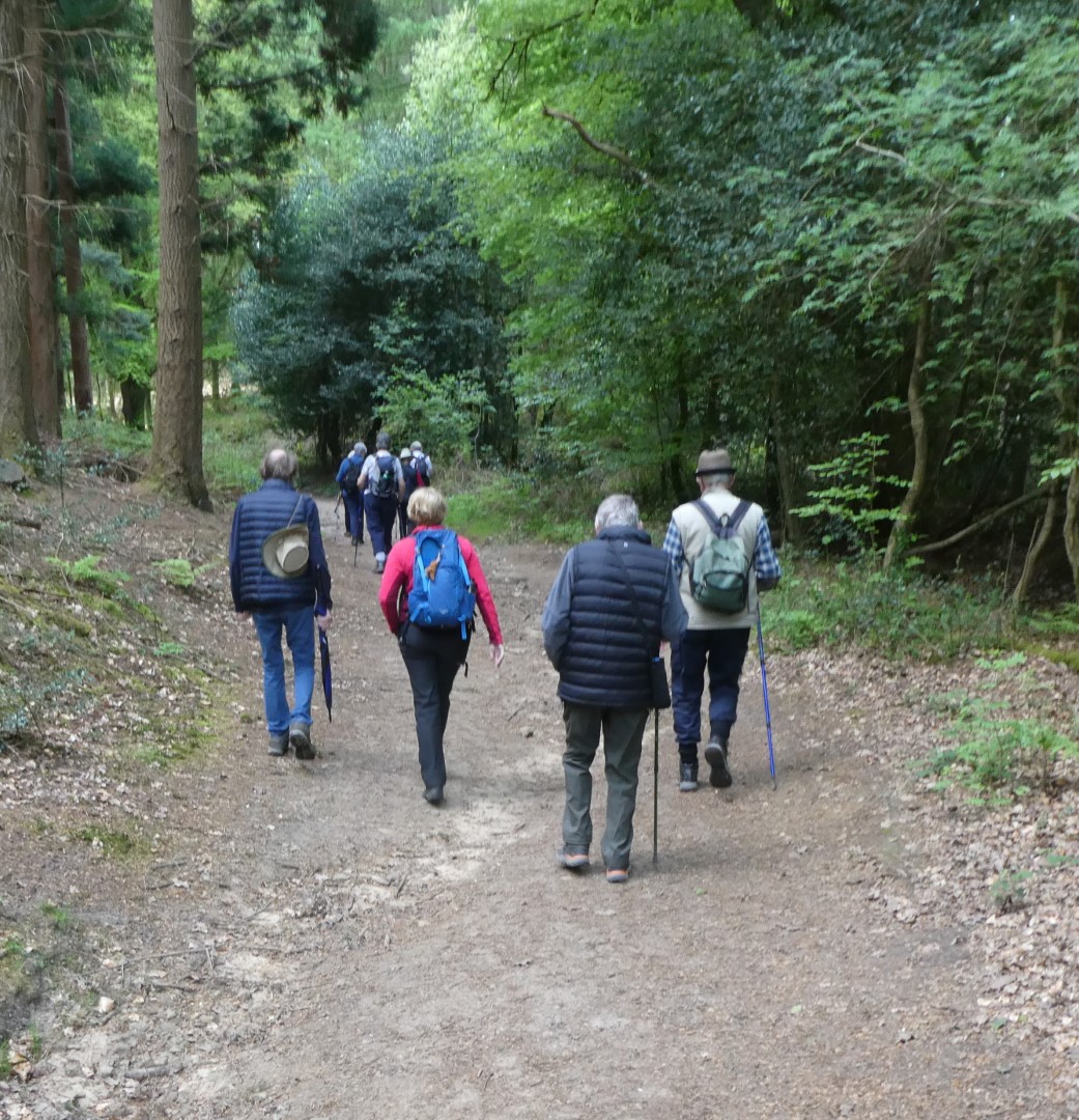
Long walkers on the march on the Sussex Border path
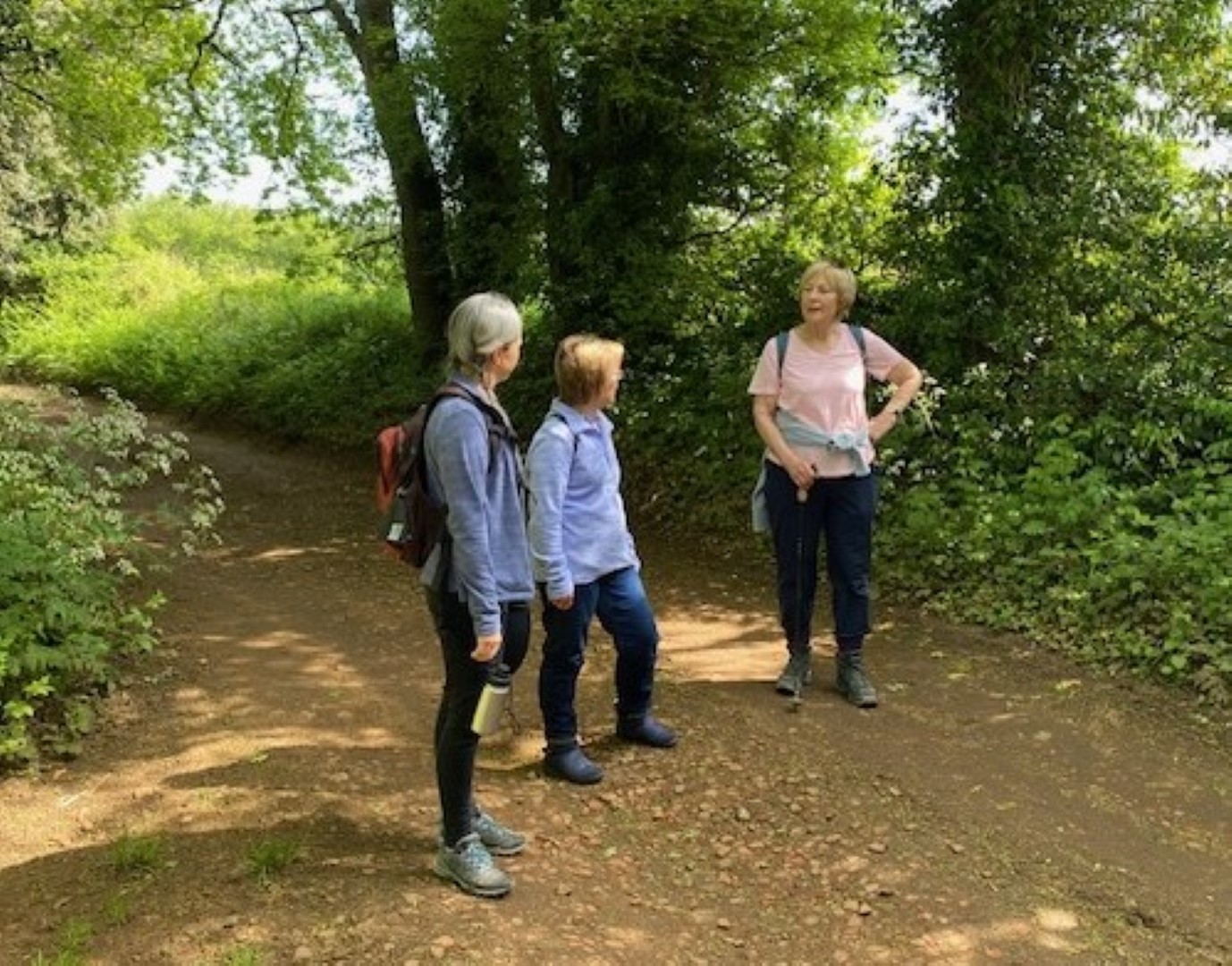
"Well, that's a shame, no-one said we're wearing blue today"
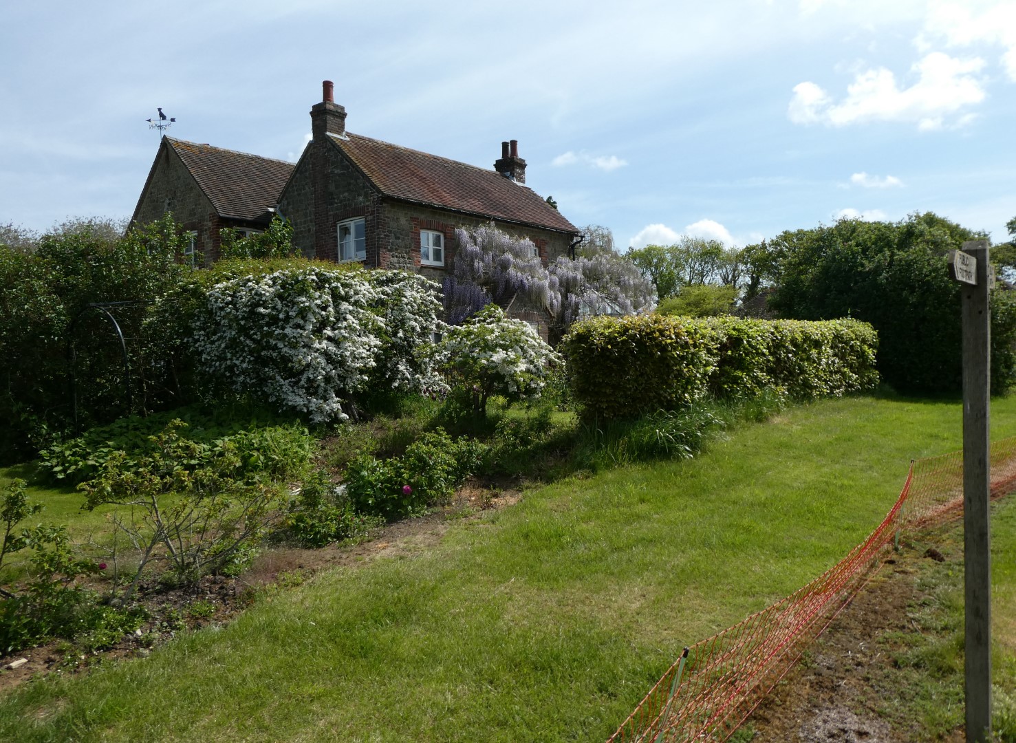
Carrols, a beautifully sited house on the hill.
with a long. long view of the South Downs
Nice path, pity about the stile up ahead!
One stile conquered, only one more to go.
Refreshed, we're heading for the pub
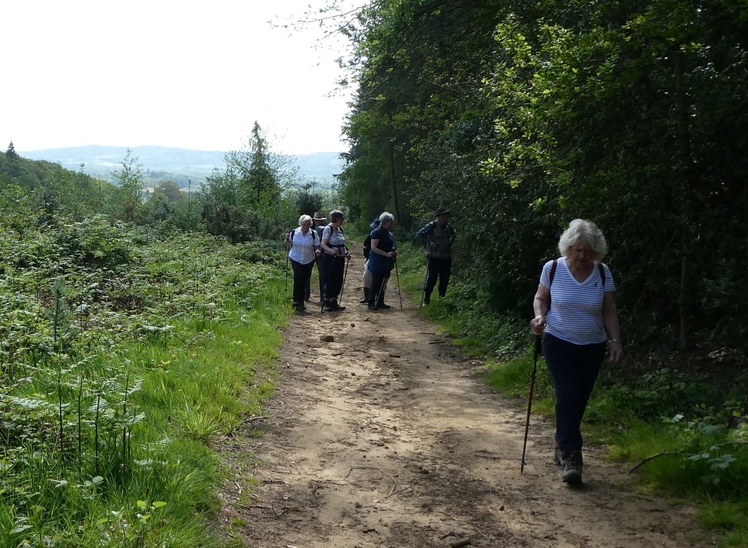
"I don't care what's going on in the hedge, I'm not looking!"
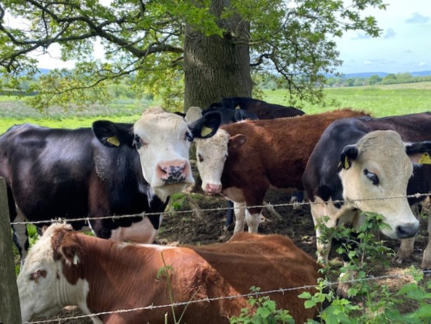
Meanwhile, the long walkers were checking out the cattle
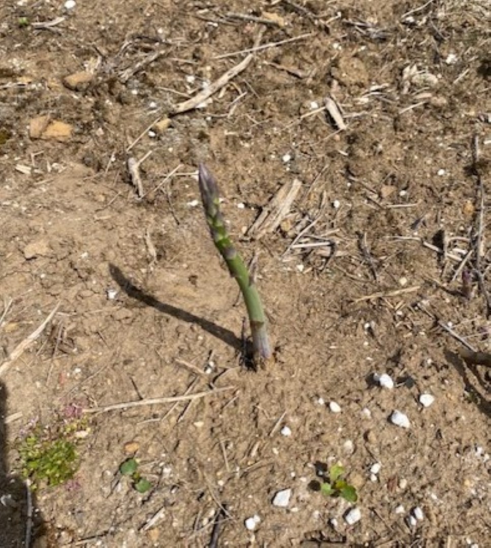
and in the Land of Asparagus, the pickers have missed this one
This could be a shot in the Himalayas or the Andes, but it's really the amazing bike jumps at Combe Hill
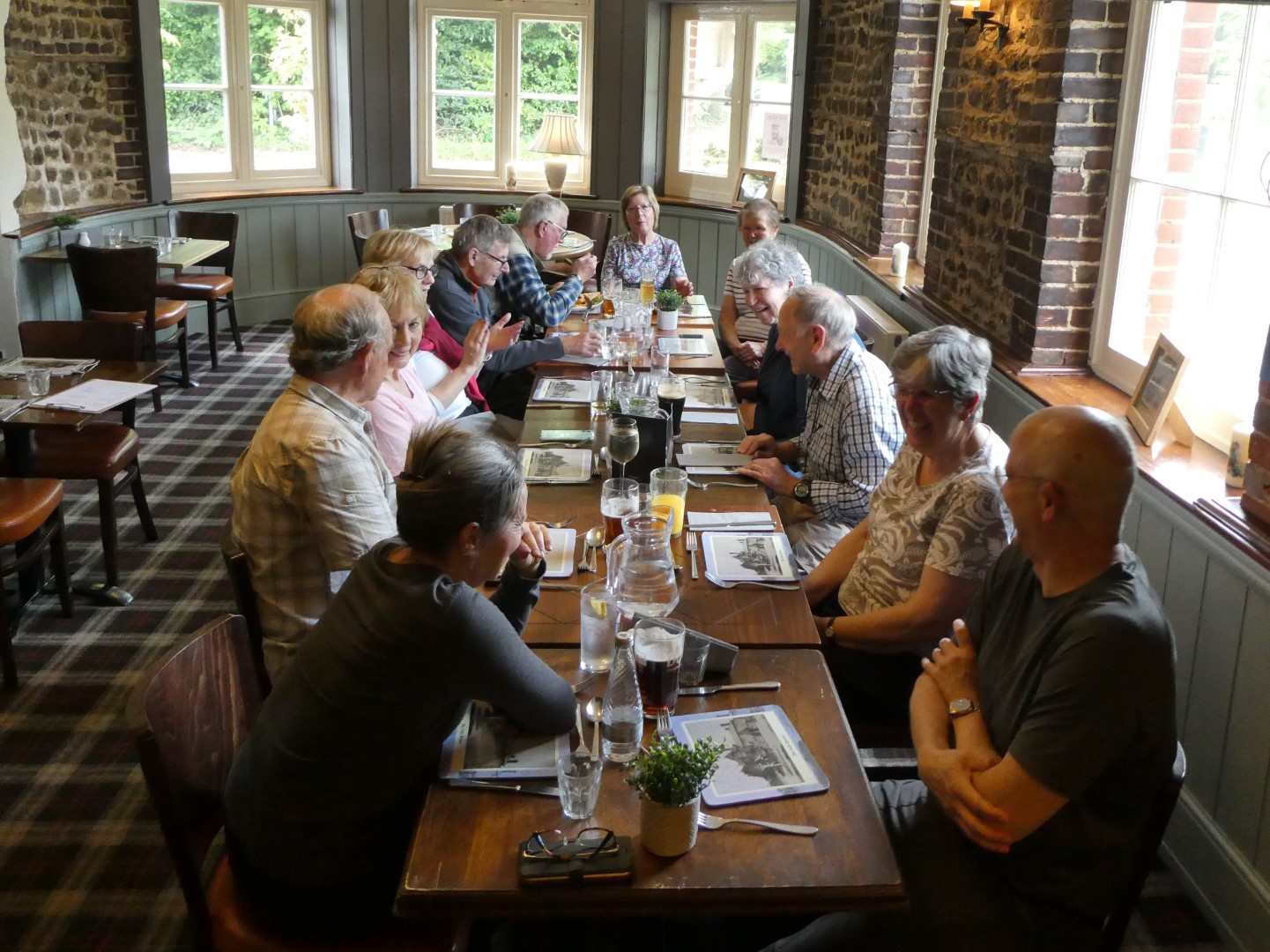
Jolly Drover at last, awaiting food.
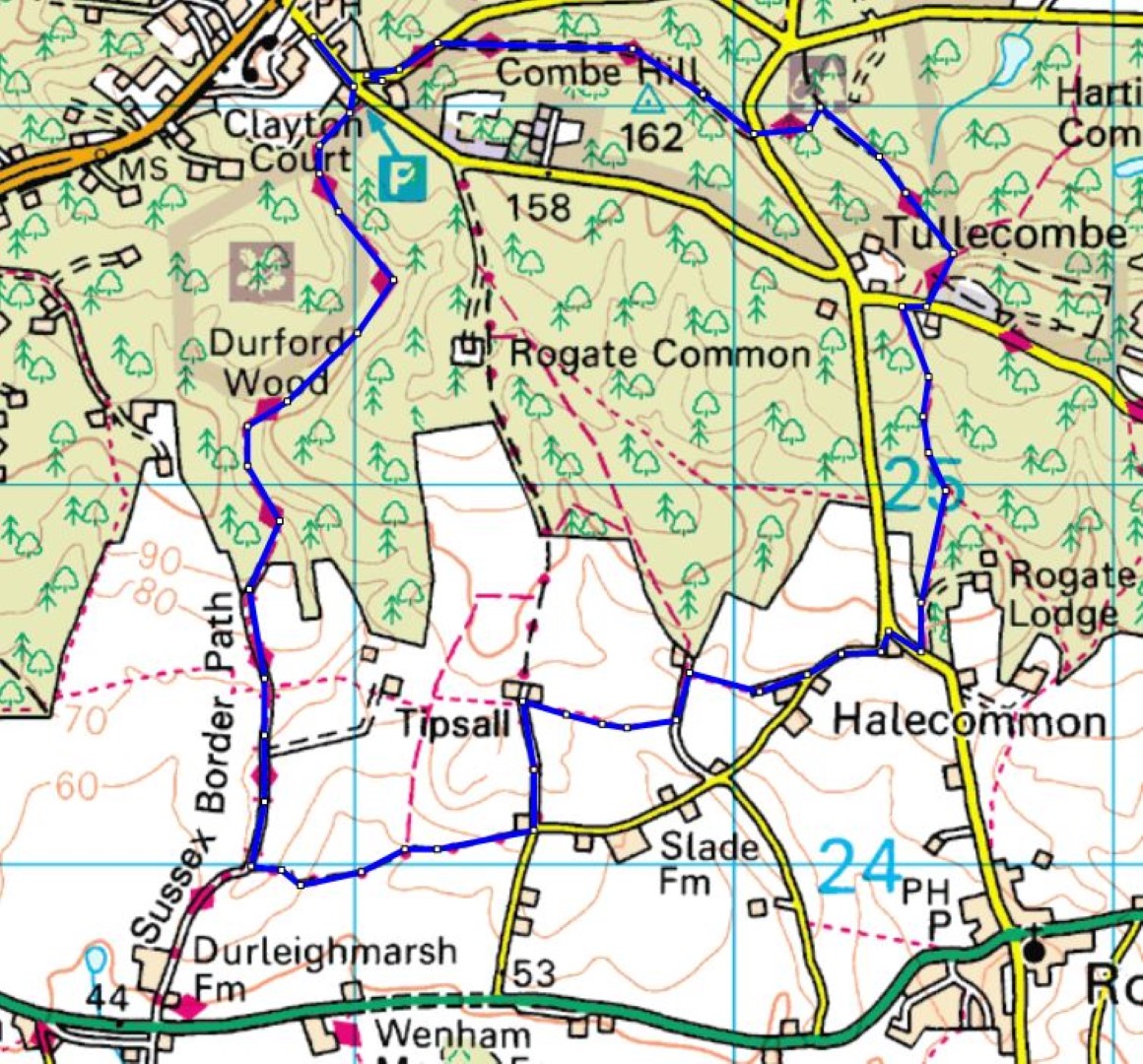
Long route, about 5.1/2 miles
Hooksway walk on 10th May 2023
We gathered at the Royal Oak’s car park at Hooksway to egg each other on for the 4.8 miles of promised undulations with the threat of a significant ‘little hill’. The lung dilation started immediately on the first undulation as we left the car park through Phillis Wood. Part way up, we said a temporary goodbye to two walkers that wisely took a shortcut to save their bodies for future outings. On reaching the South Downs Way we continued on past the Devil’s Jumps and Monkton House where a peacock and pheasant announced their presence as off-key choristers. The Edwardian house was built to Edwin Lutyen’s design in 1902 but was not visible through the woodland. The route burst into the sunshine and open downland to reveal calves and their cows on one side and ewes and their lambs on the other as we headed towards Didling Hill where we turned off down towards Didling. John and Maureen’s guiding made sure we did not miss the path to descend to the Shepherd’s Church. Ash trees were being removed in this area due to Ash die back, the forester told us it would be five to six years for the virus to die off before they can replant the area with Ash. Our coffee stop was at the 13th Century Church overlooked by lambs and the ancient Yew tree that had survived an erroneous attempt to chop it down in 1945. Once refreshments including a bountiful supply of Canadian maple biscuits had been consumed, we headed towards Treyford at which point John took us up the ‘little hill’, definitely not an undulation! Then back up to the South Downs Way passing a spectacular wooded carpet of wild garlic. As we walked alongside Germanleith Copse there were bluebells and deer to admire before we were back at the Royal Oak, where drinks and lunch hit the spot for us all.
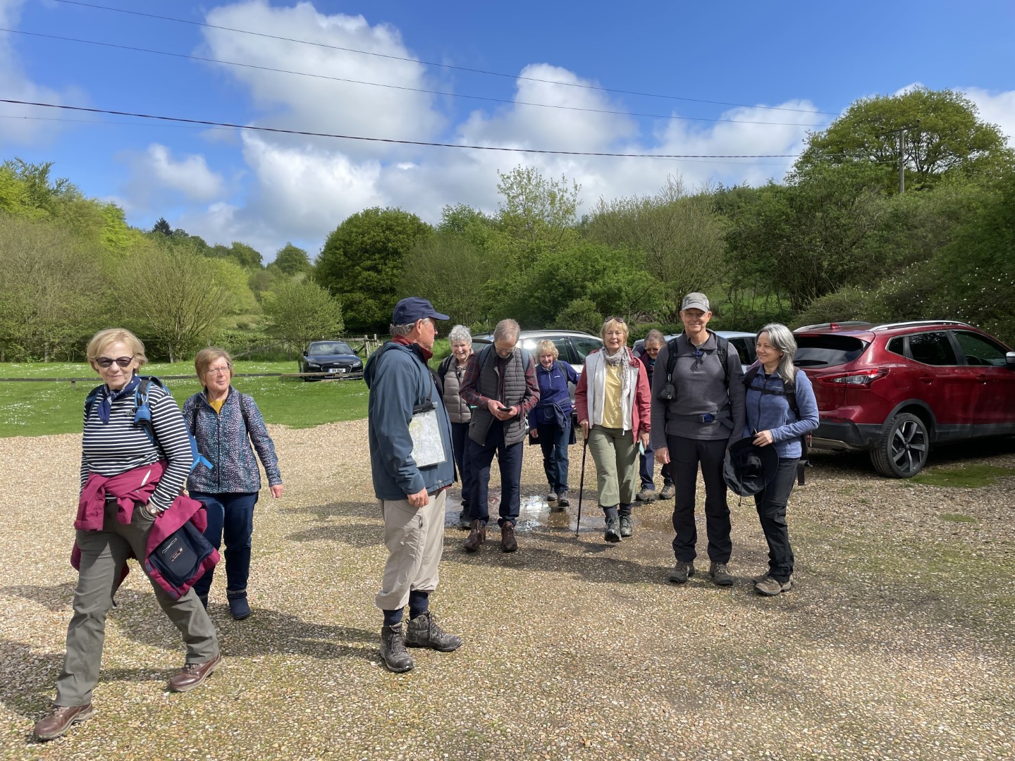
Girding our loins for the undulations
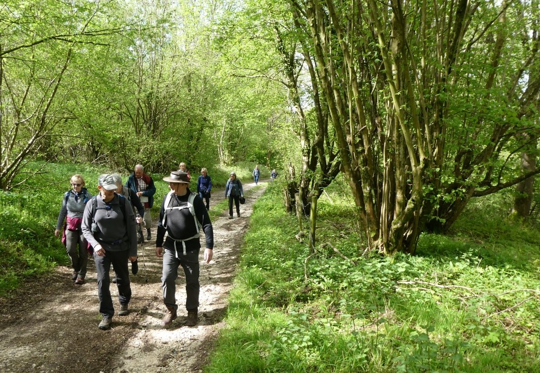
Climbing up through Philliswood Down
South Downs Way near Monkton House
Bursting out into the sunshine and open Downs
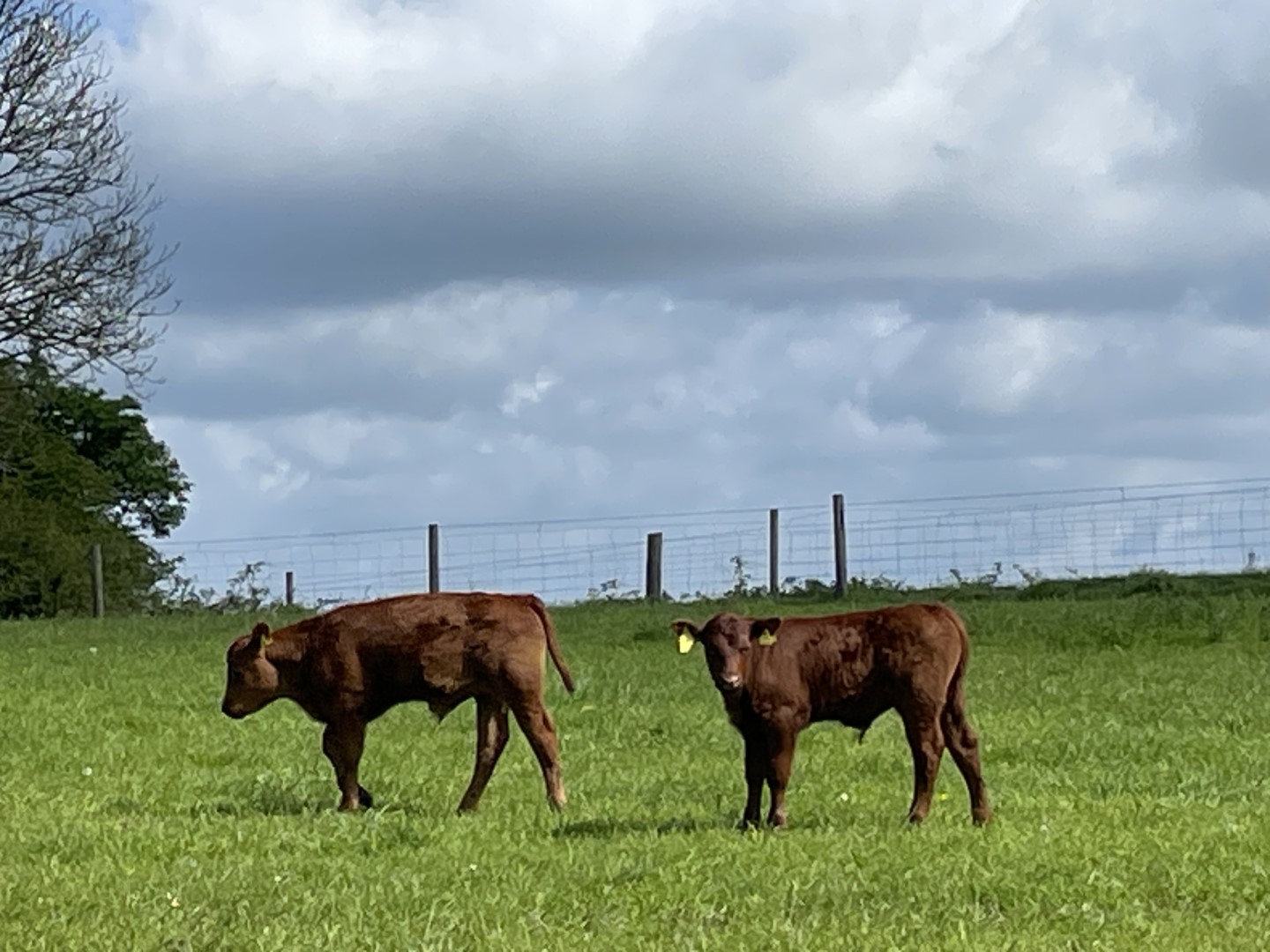
Calves on the prowl
Didling Hill, accelerating for coffee
The coffee break
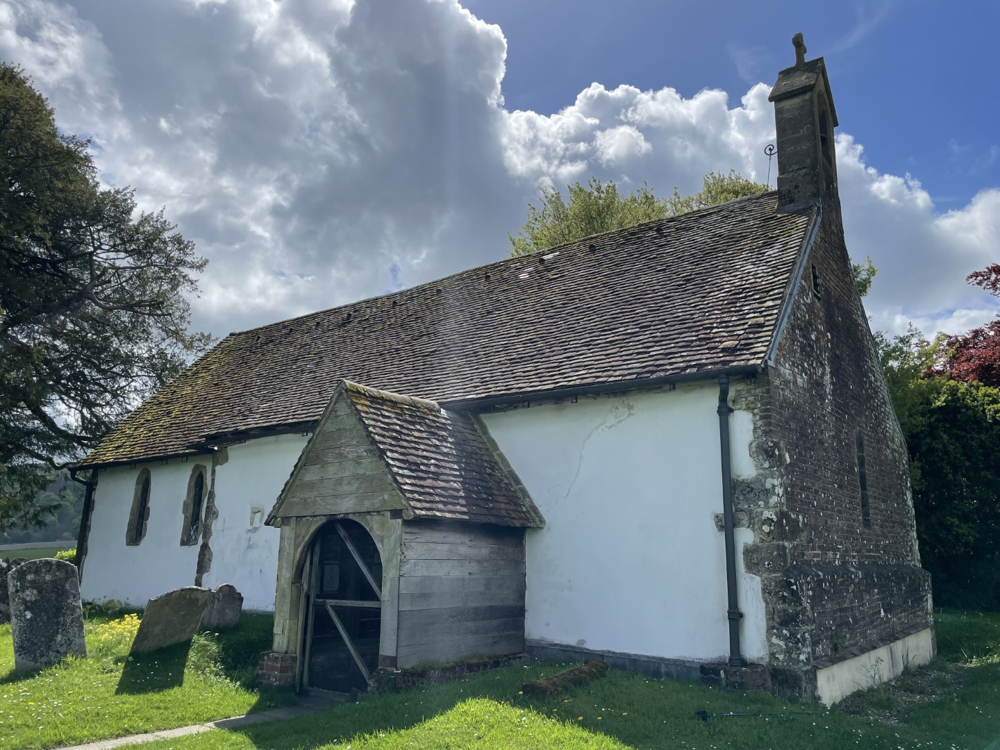
The Shepherd’s Church
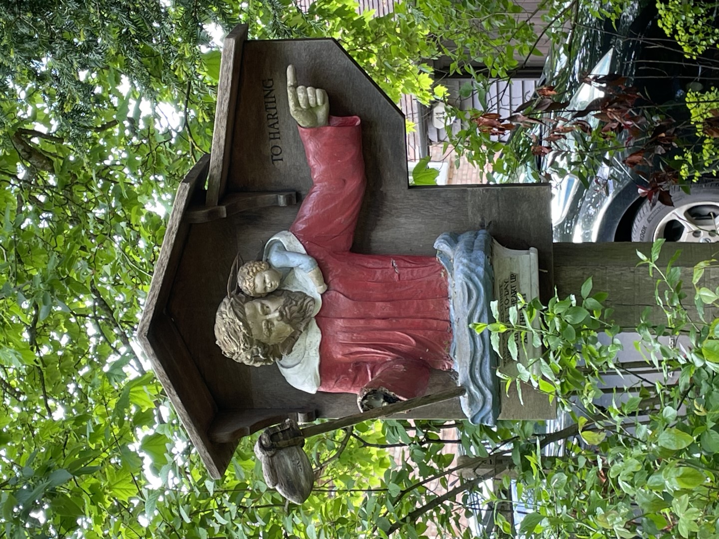
I’m telling you, you really want to go that way
The calm before the garlic
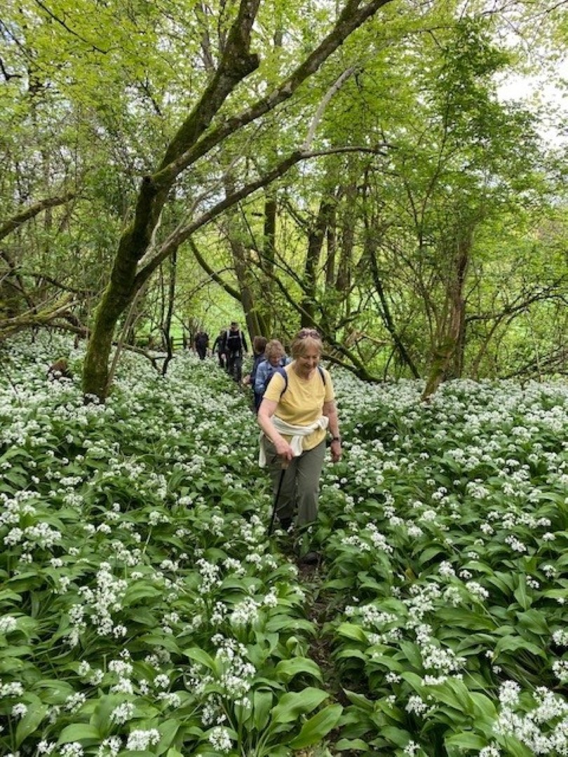
No need to worry about vampires in here
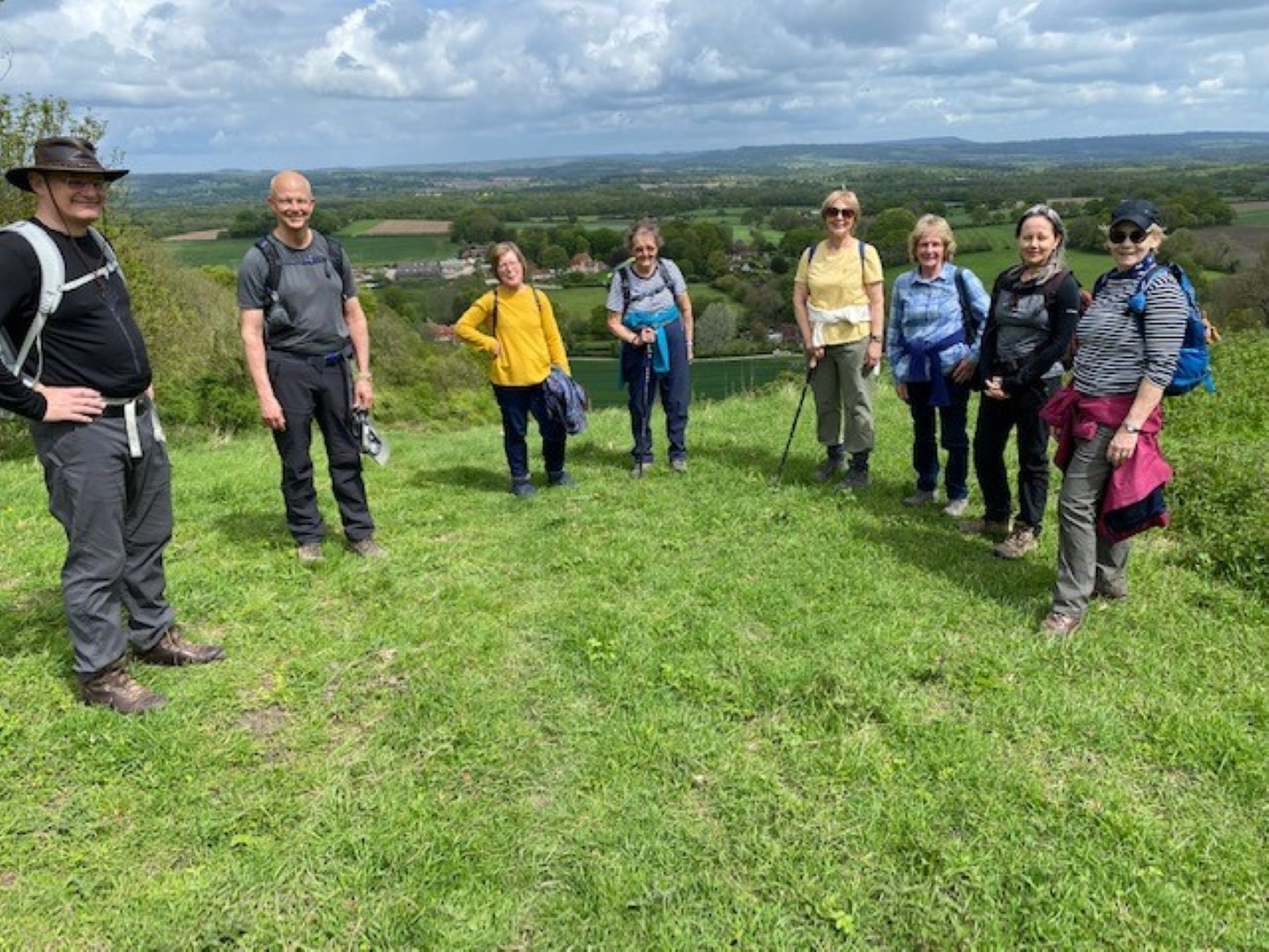
Getting our breath back – good excuse for a summit photo opportunity
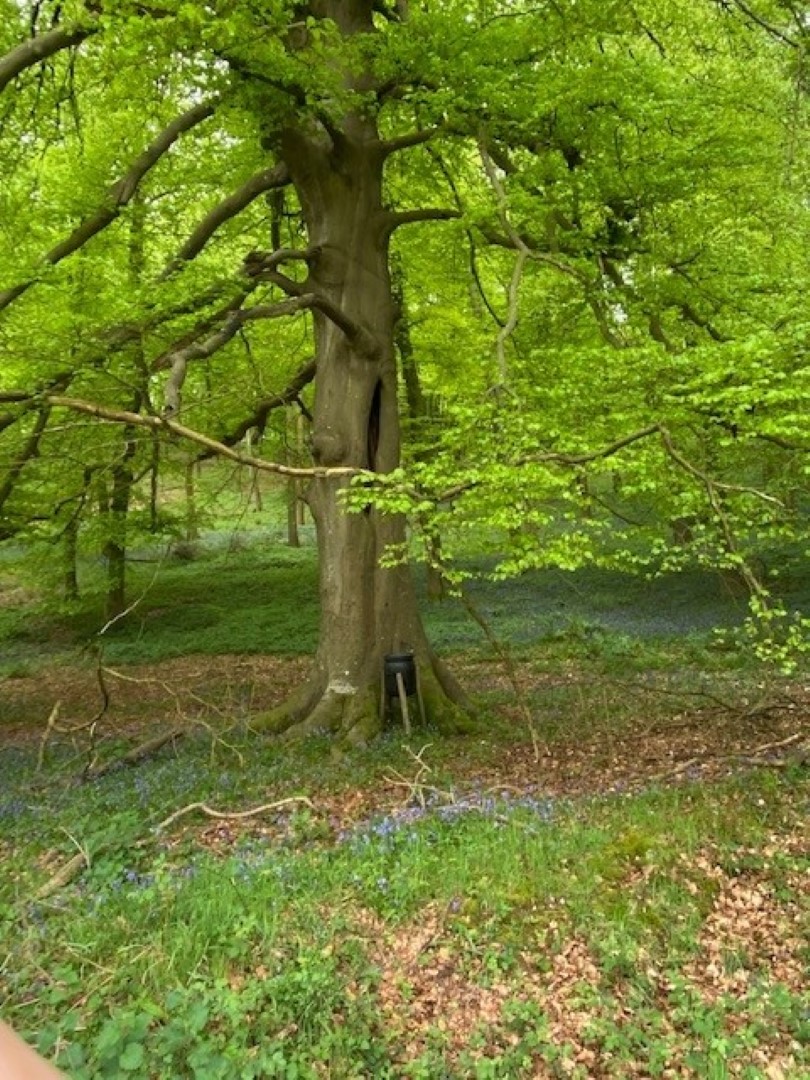
Bluebells and a pheasant feeder
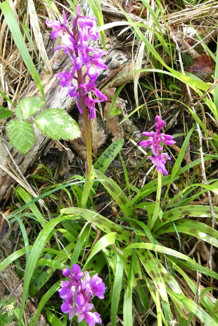
Early Spotted Orchids were also seen
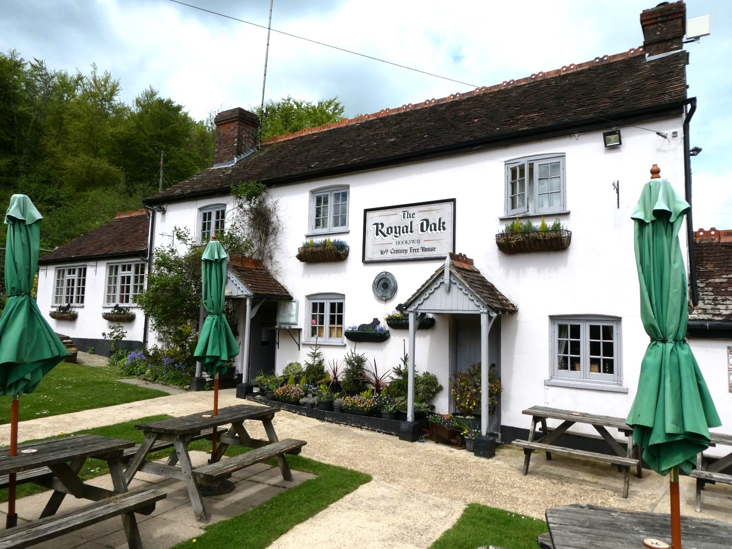
At last, back to The Royal Oak
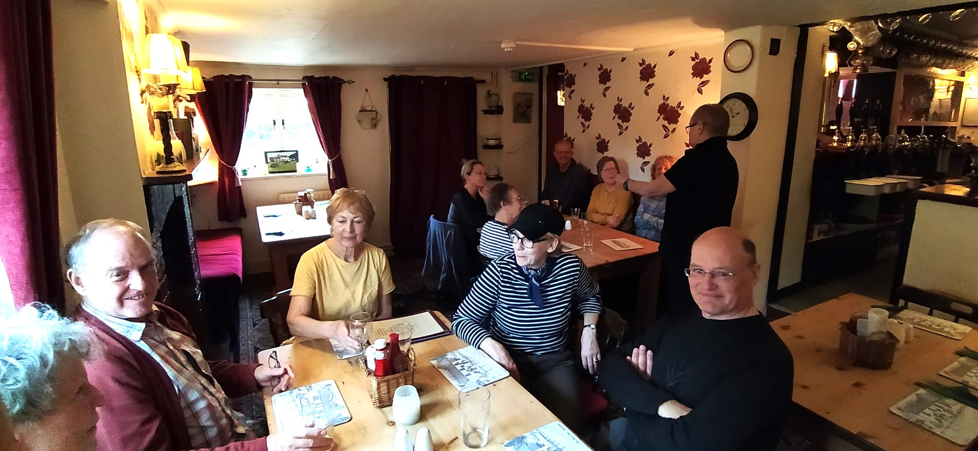
And food is on the way!
.png)
The route
Kirdford walk on 3rd May 2023
We had a beautiful sunny day for our walk led by Sally. Starting at the Foresters Arms in Kirdford recently closed for renovations but they let us park there. The start of the walk led us through the oldest part of Kirdford where on the junction is the Church of St John the Baptist built around 1100 AD with its great tower and vast indoor space shows the importance of this village in medieval times. Opposite the Church is the popular Half Moon pub owned by Jodie Kidd but not open on a Wednesday for our walk. The new ‘bareback’ pub sign for the Pub Renaissance campaign was unfortunately not visible from our vantage point as it would have destroyed our concentration for the plaque in the centre of the village showing the village story. Taking a left at the T junction we passed the Old Rectory with “its ode to the virtue of staying sober”. At this point we felt obliged to model some of the benefits of drunkenness for the camera. Leaving the village behind us we turned left at Normandie Stud and through its yard with very smart stable buildings and dogs with short legs, then into the woodland of Boxalland Copse, an ancient site of iron mining. The woods were carpeted with bluebells. Continuing down to muddy Boxall Brook and over the bridge and up into pastureland and then into the dense woodland of Barkfold Rough. The path rises to Chandlers Barn and into the open with fine views of Blackdown where they had conveniently placed a bench ideal for an early cup of coffee. Walking along the edges of fields filled with oil seed rape and the historic Fountains Farm screened by high hedges we start our descent back over the mud of Boxall Brook. A challenge presented itself. A very muddy section running along a farmer’s field with sheep in it, half the walk went for it and at the other half agreed for Tim to negotiate with the farmer to allow us to walk on his land which luckily he did. On the home straight passing Lakelands Farm and over Great Common skirting the mud and back into the village past a new development of houses. To our right was the village stores with more history and information about the flora and fauna. Back to collect our cars and 2 miles to The Stag Inn at Balls Cross for a delicious lunch by Phil and his team.

Starting out
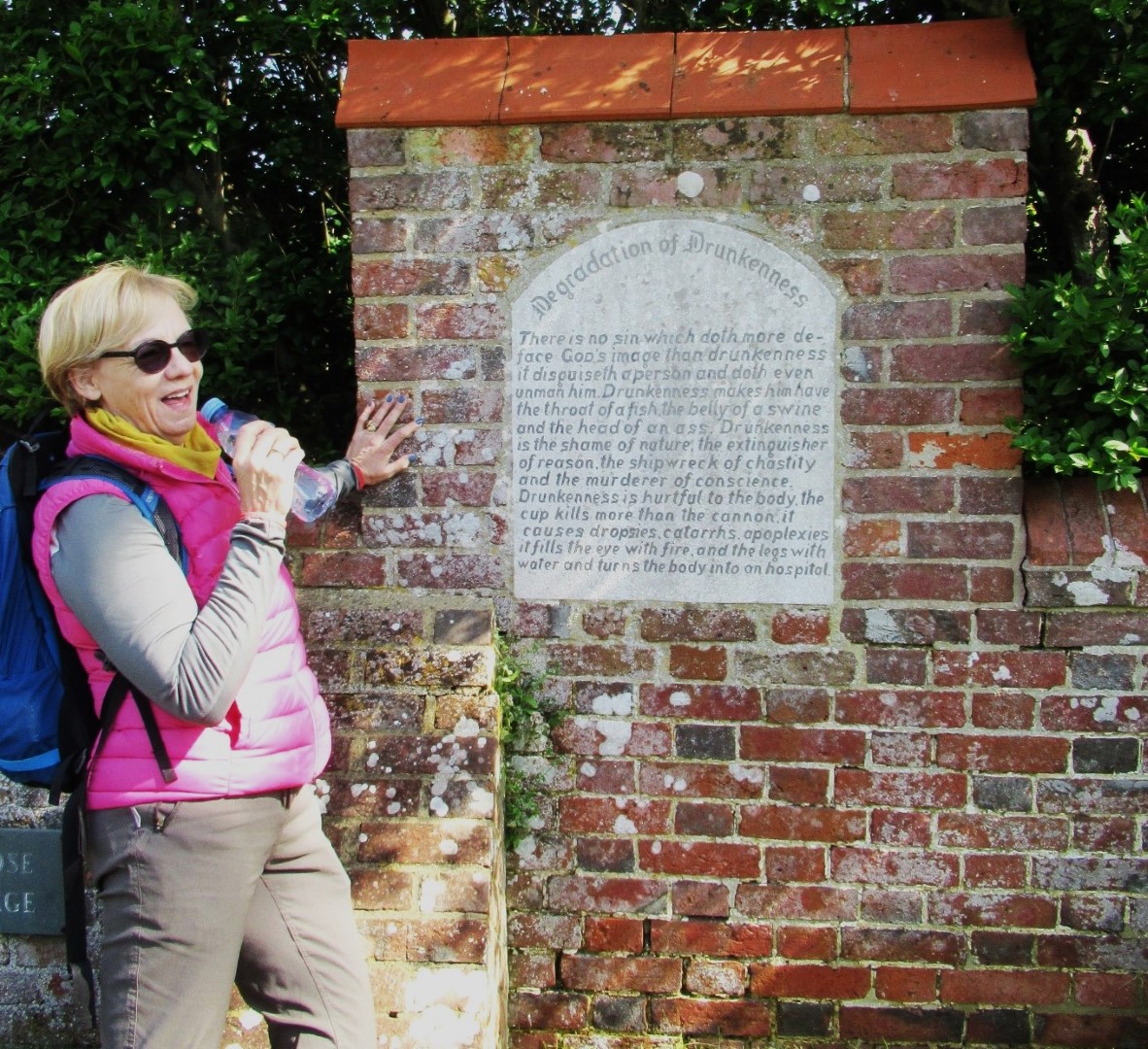
Enjoying the ‘Degradation of Drunkenness’

Which one would you like mounted on your wall?
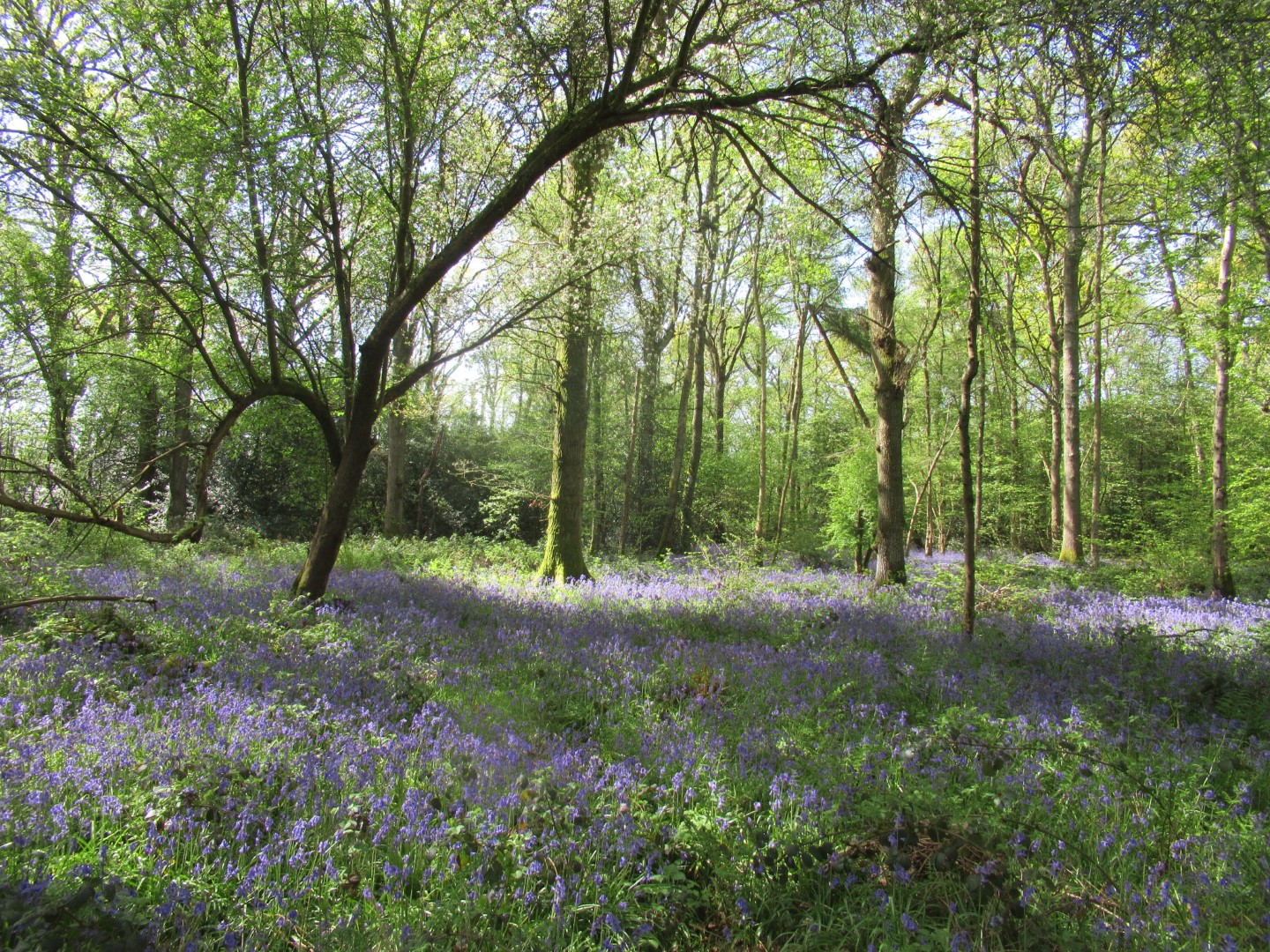
Bluebell carpet

Be very careful not to tread on the bluebells

but they were everywhere

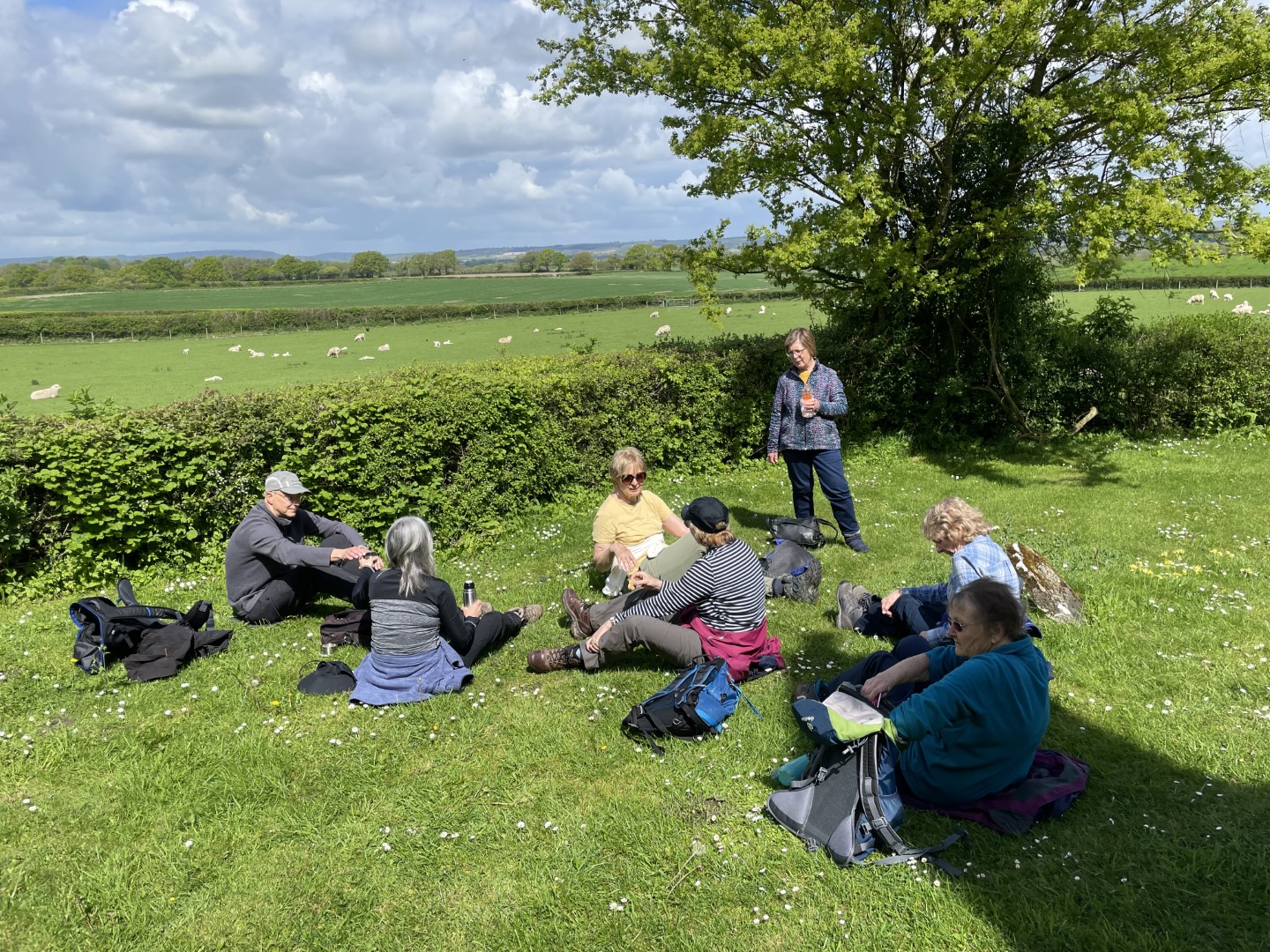
The coffee stop
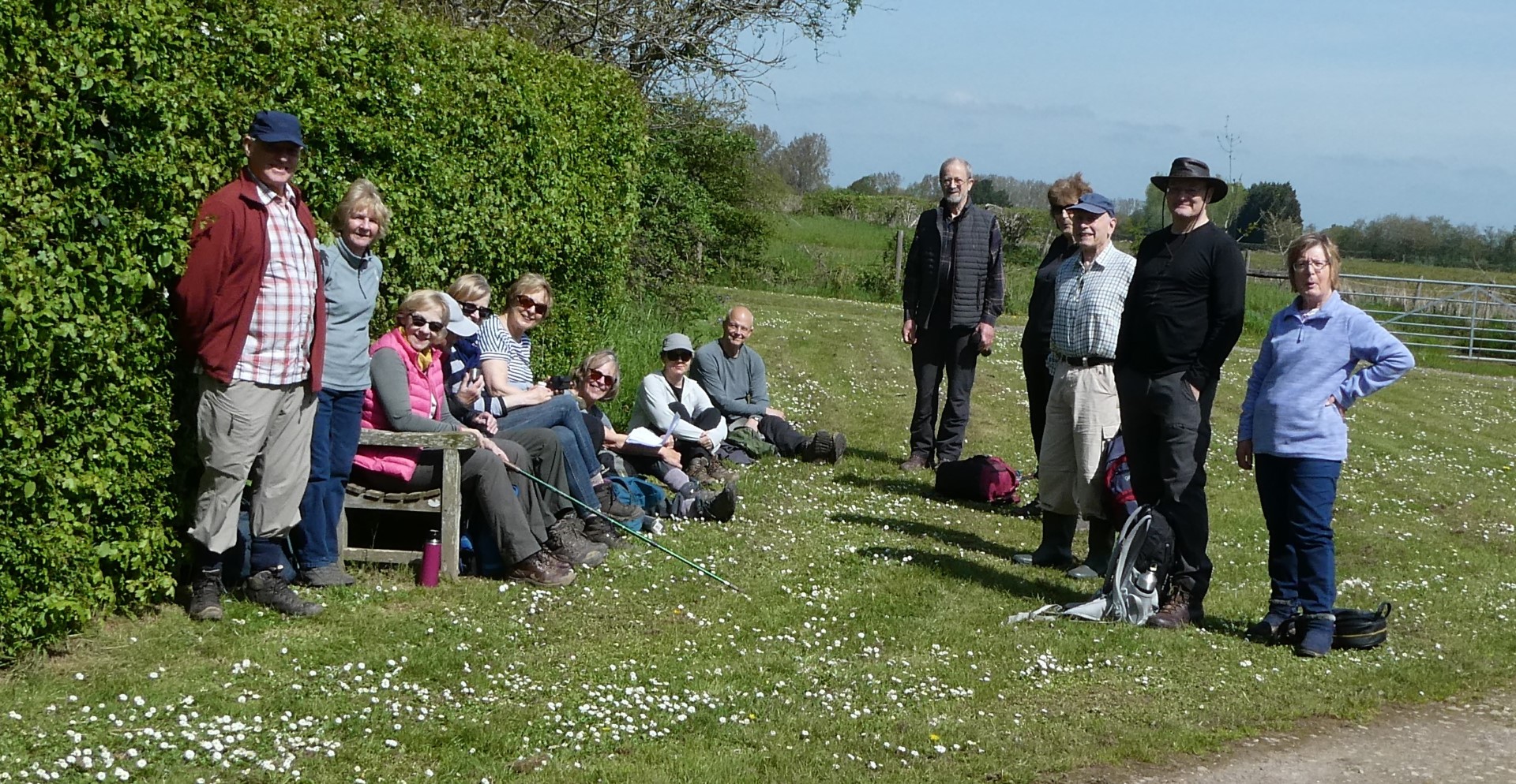
Come on, smile everyone!

Oil seed rape crop’s coming on nicely

Bridge over untroubled water
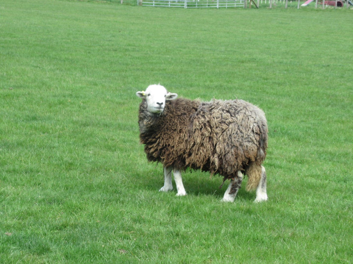
Oy, what are you doing in my field?
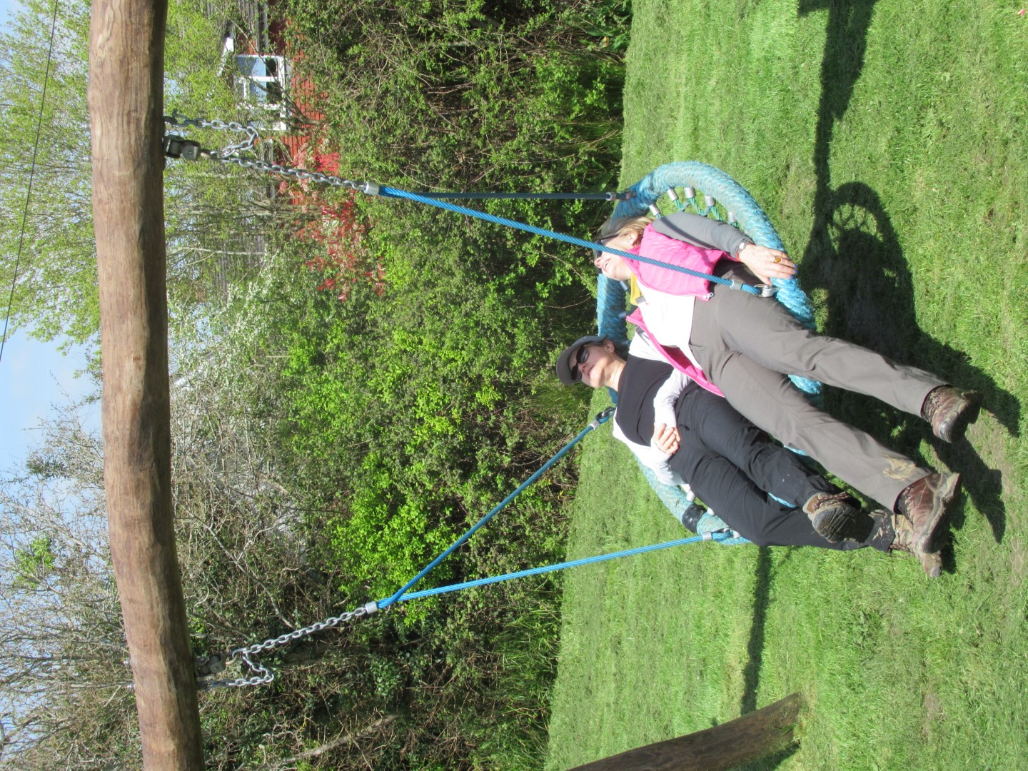
Going flat out at the end of the walk

Stag Inn, Balls Cross
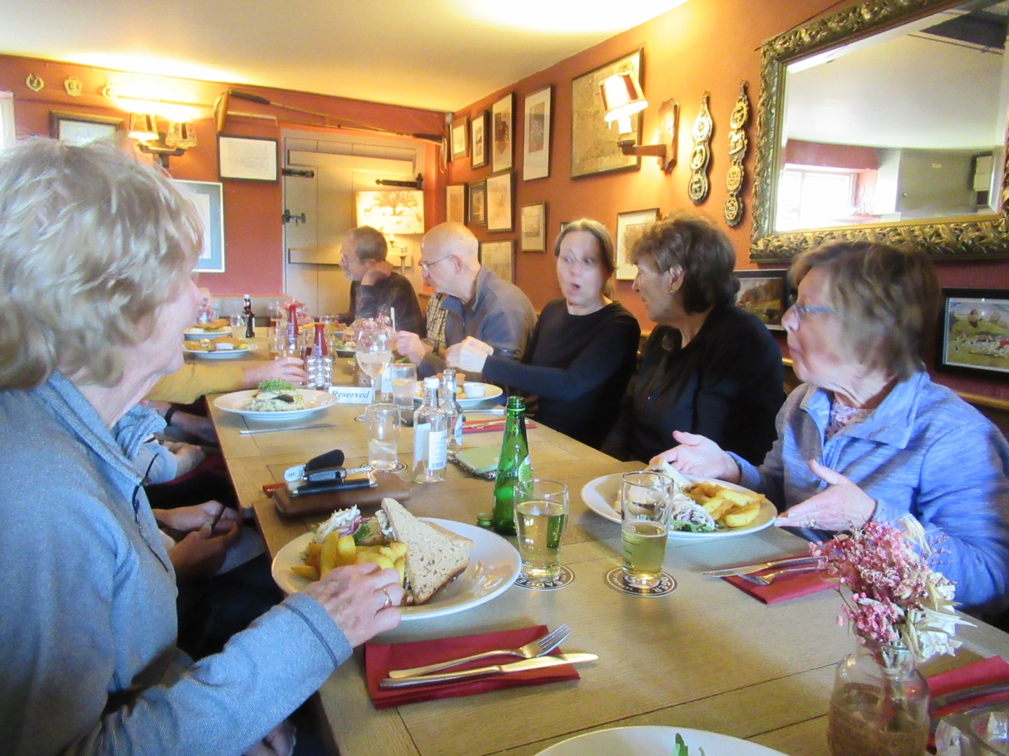
A shockingly good lunch
.png)
A very pleasant 4 miles or so.
Midhurst Long walk 28th April 2023
Long Walk on 28th April. Midhurst, Lodsworth, Tillington, and Selham
There were only three of us to brave the 15.22 mile long walk. It started at Cowdray Café car park, we crossed the main road, headed up The Race and onto the golf course where a pair of golfers rang a bell for us to cross the fairway. At the 7th Green, we dropped into a bluebell valley, skirted Steward’s Pond, tried to avoid the mud at the edge of Heathend Copse and onto Lodsworth. Too early for the pub, we walked past the refurbished Vicarage and St Peter’s Well, marvelled at the height of the river under Eel Bridge and made our way to River. The Sussex Diamond Way took us to Pitshill and onto the Upperton vineyards where we stopped in the drizzle for our coffee break. The descent to Tillington took us past horses rolling around in a field, through the churchyard lych gate and down to cross to the south of the A272 eventually getting onto Hungers Lane, which was appropriate for how we felt, but the sun started to shine at this point. We loitered on the footbridge over the River Rother, full to the banks. By this time we truly focused on our lunch and were pleased to make it to the disused railway that used to serve Pulborough from Midhurst. At this point we encountered a herd of cows vociferous in their desire for lunch at which point the farmer let them out to the field and they followed us down the road heading for the pub. The cows got diverted for their lunch before we got to the Three Moles at Selham for our well earned refreshments and lunch. After lunch we had a look at St James 11th Century church before we turned south up Smokyhouse Lane past the site of the WWII Royal Navy Air Station, now polo fields and over the disused railway again. We walked the Serpentine Trail past Graffham Court, up and over Ambersham Common where we got back onto the disused railway and onto West Lavington and back to Midhurst following the River Rother.
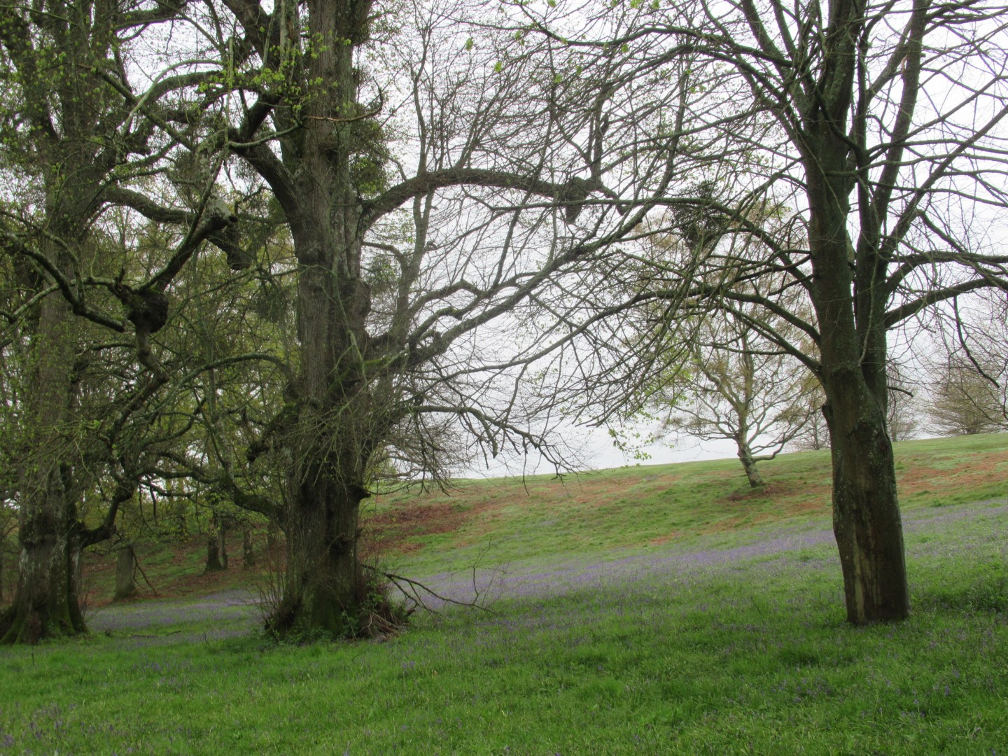
Bluebells, Mistletoe and spring leaves emerging
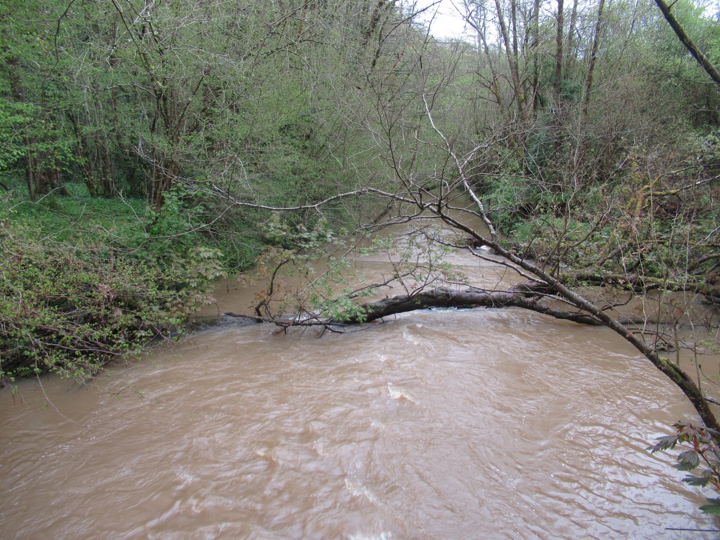
River Rother tributary in full flow at Eel Bridge
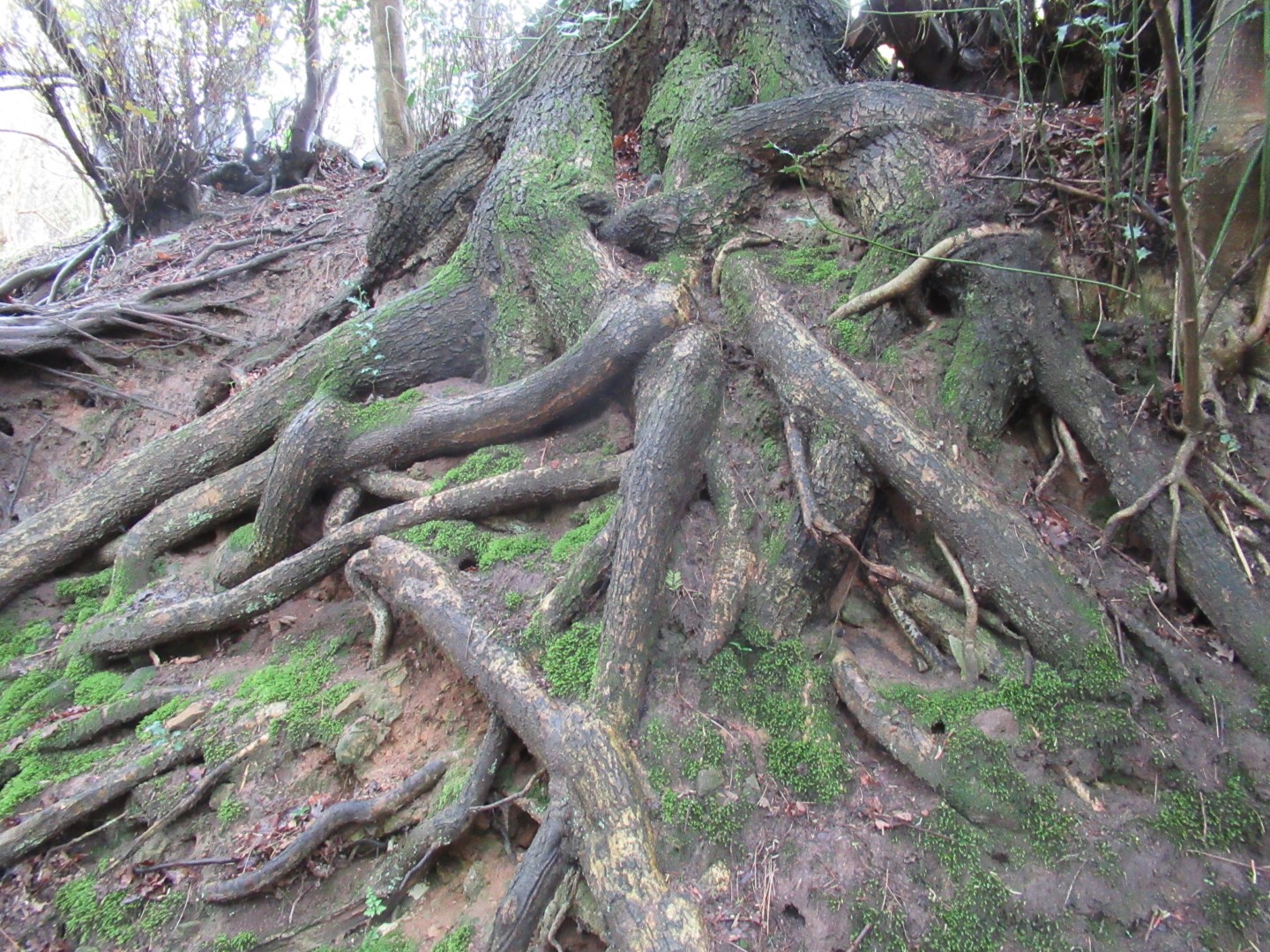
Trees can lead a tangled life
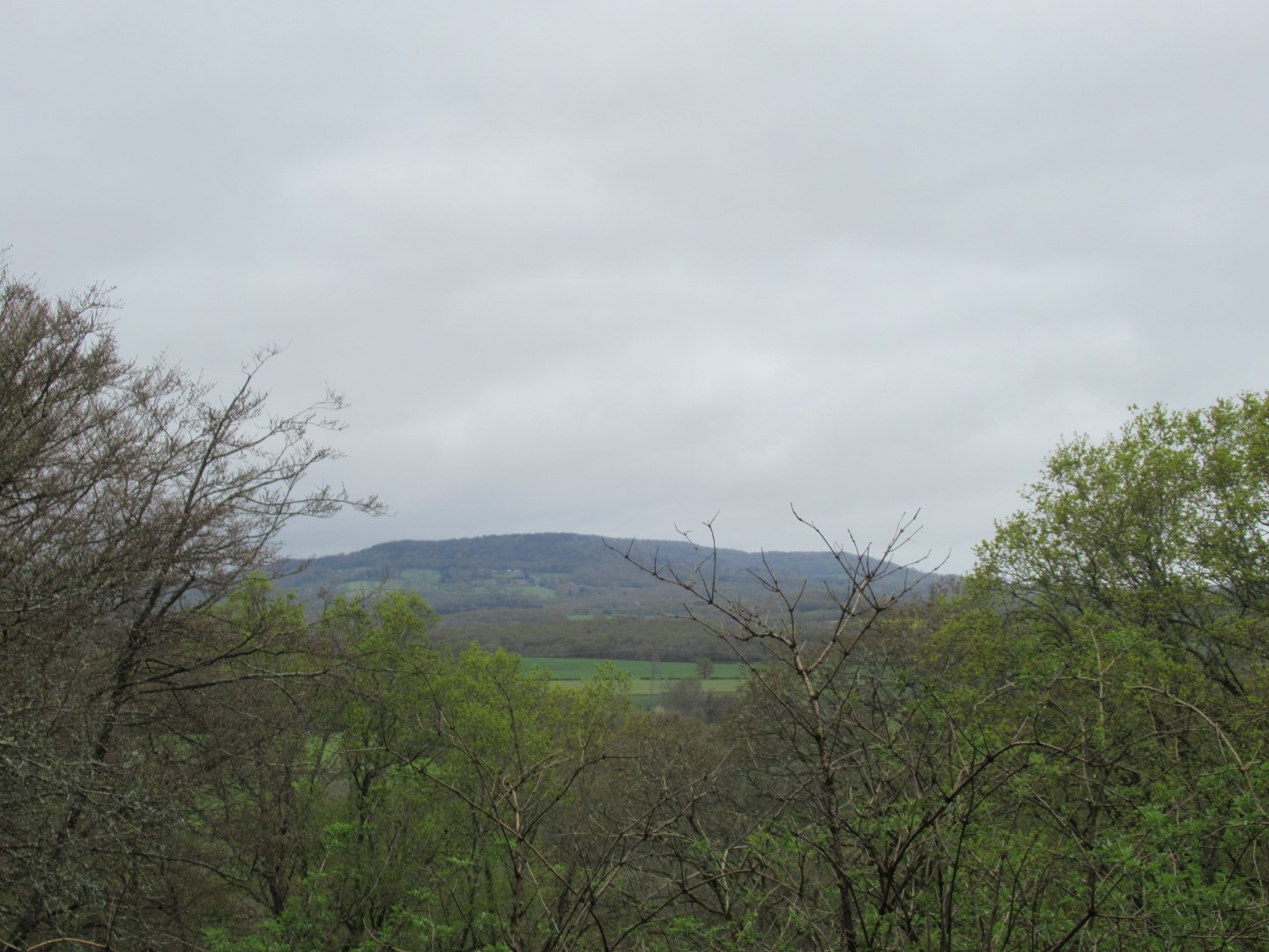
View across to Black Dam
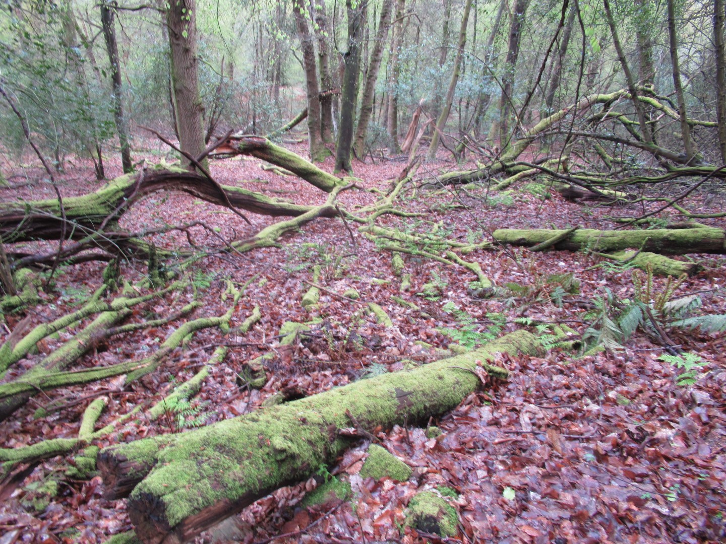
Old tree drowning in a sea of leaves
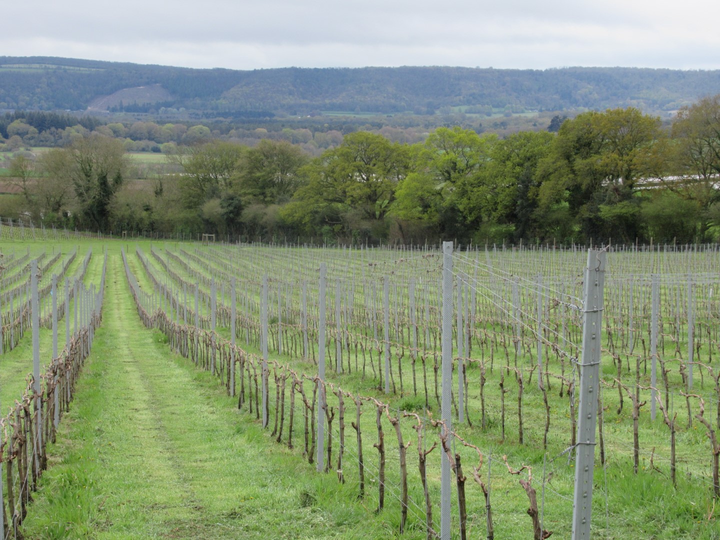
Vineyard view to South Downs for a coffee break
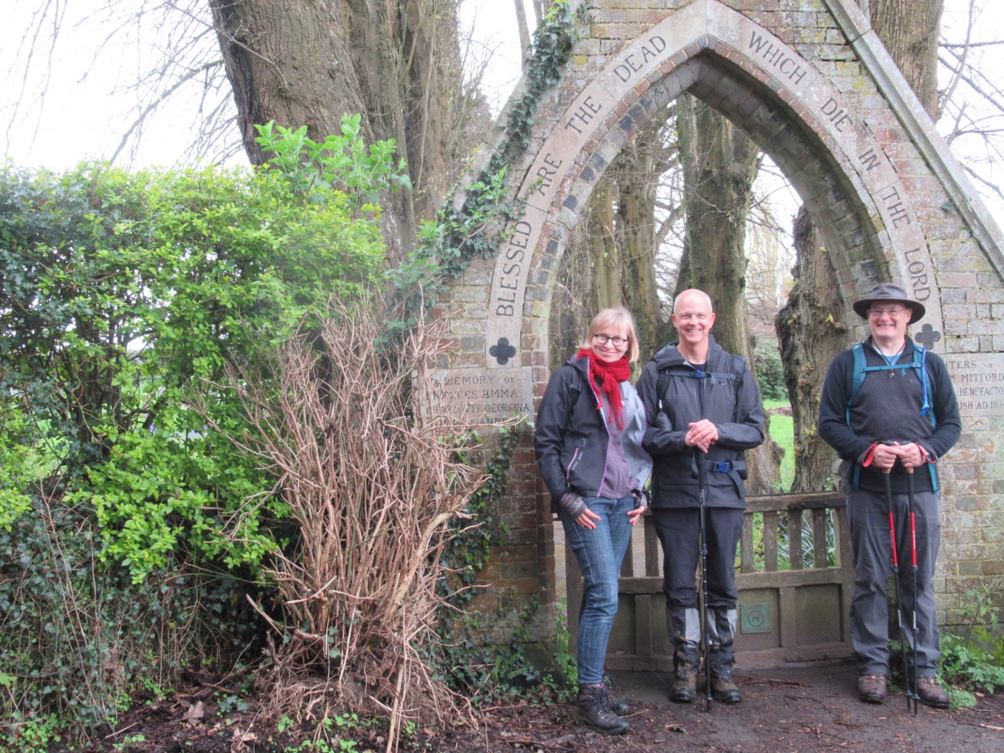
'Blessed are the Dead’, but what about us?
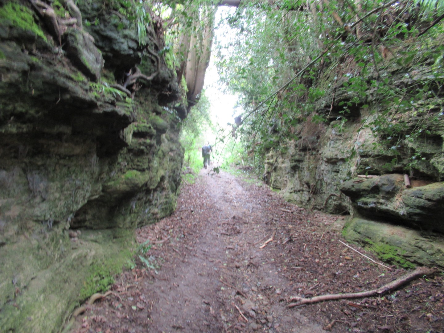
Hungers Lane swallowing walkers
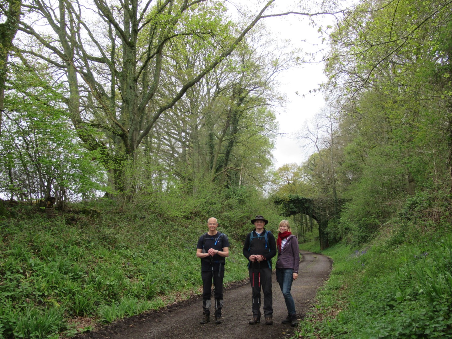
Having a pose
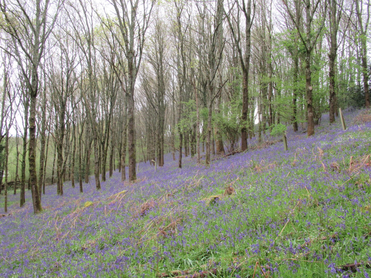
Bluebell carpet
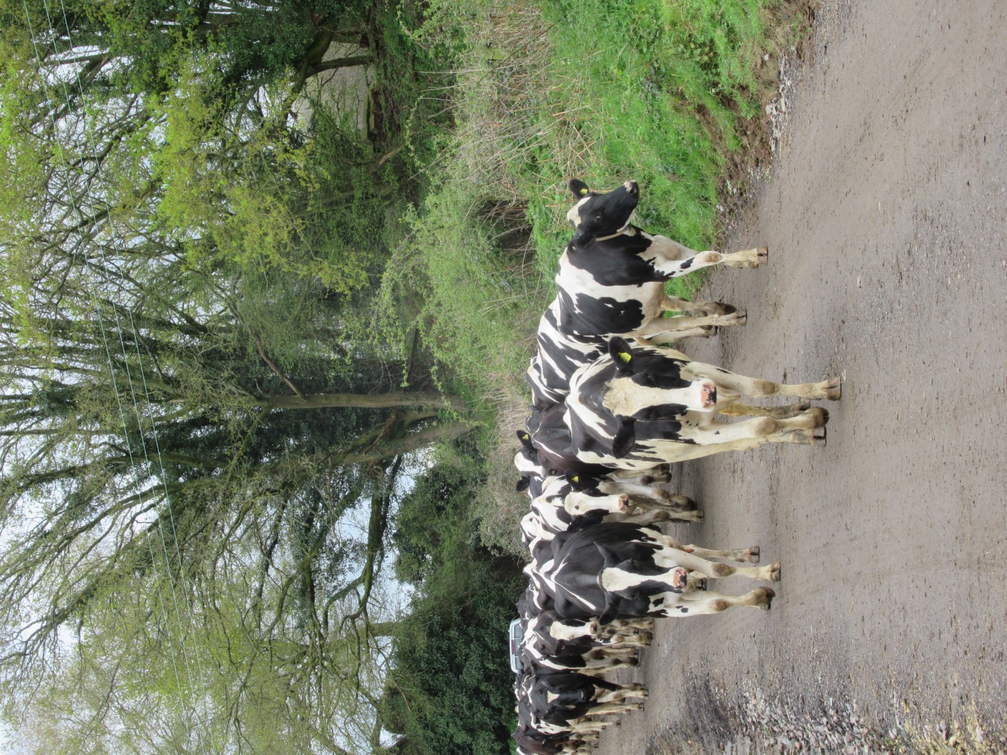
We’re coming to lunch too
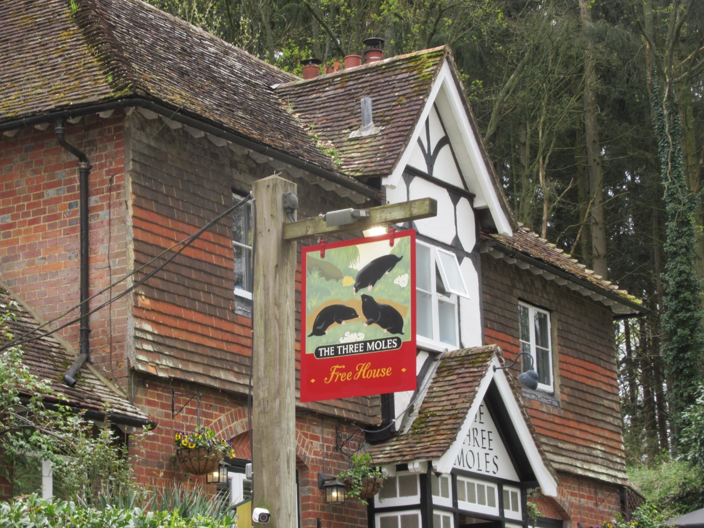
Lunch at the Tree Moles, named after the Mitford family crest
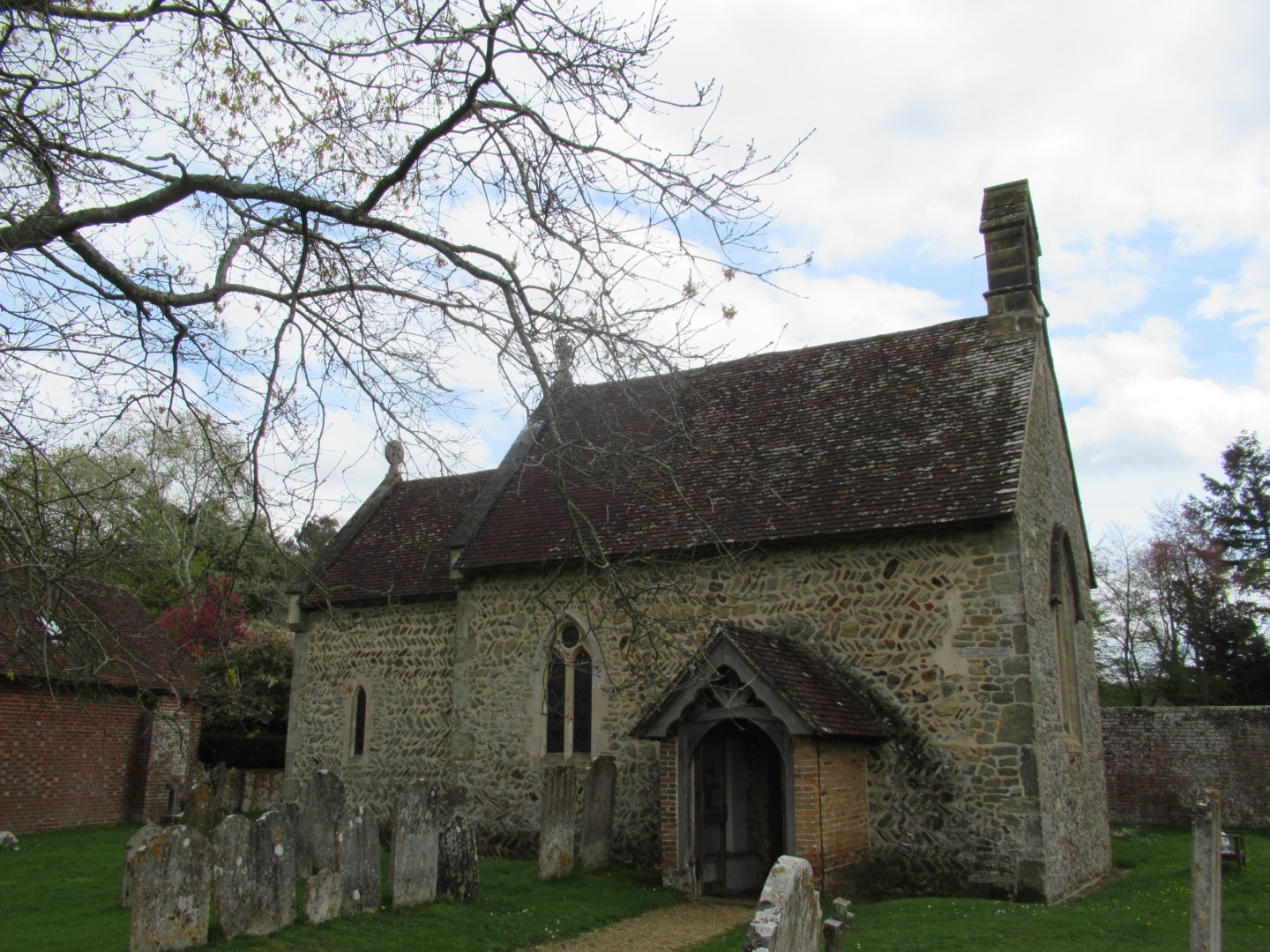
St James Church, Selham
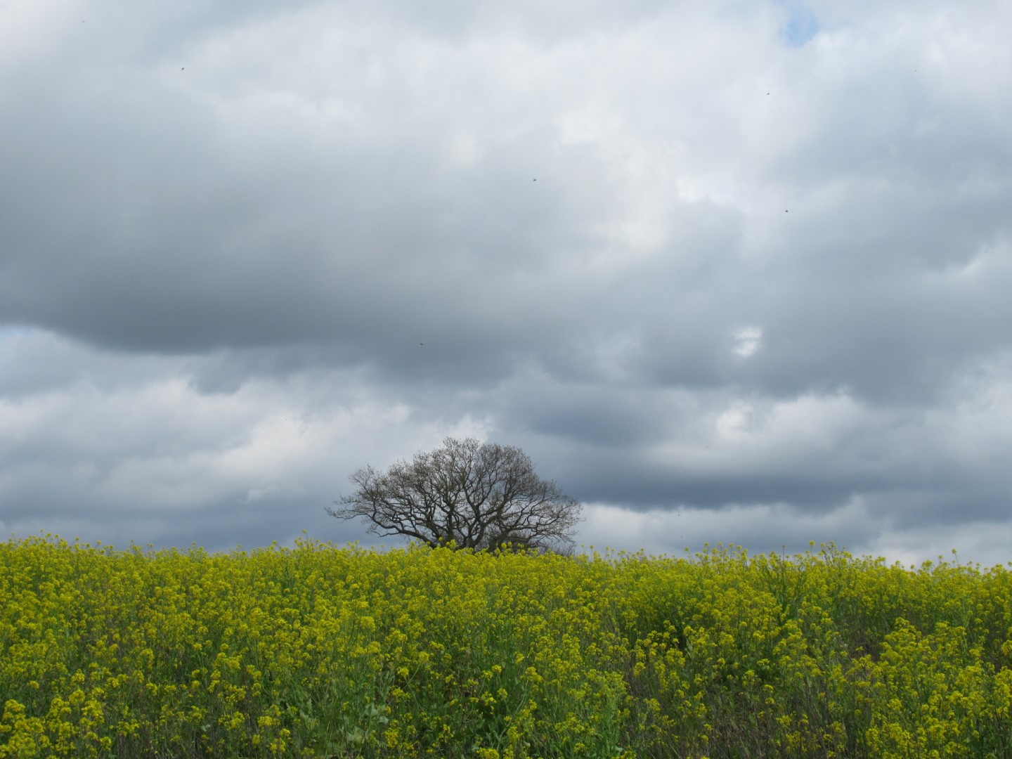
Storm clouds and rapeseed
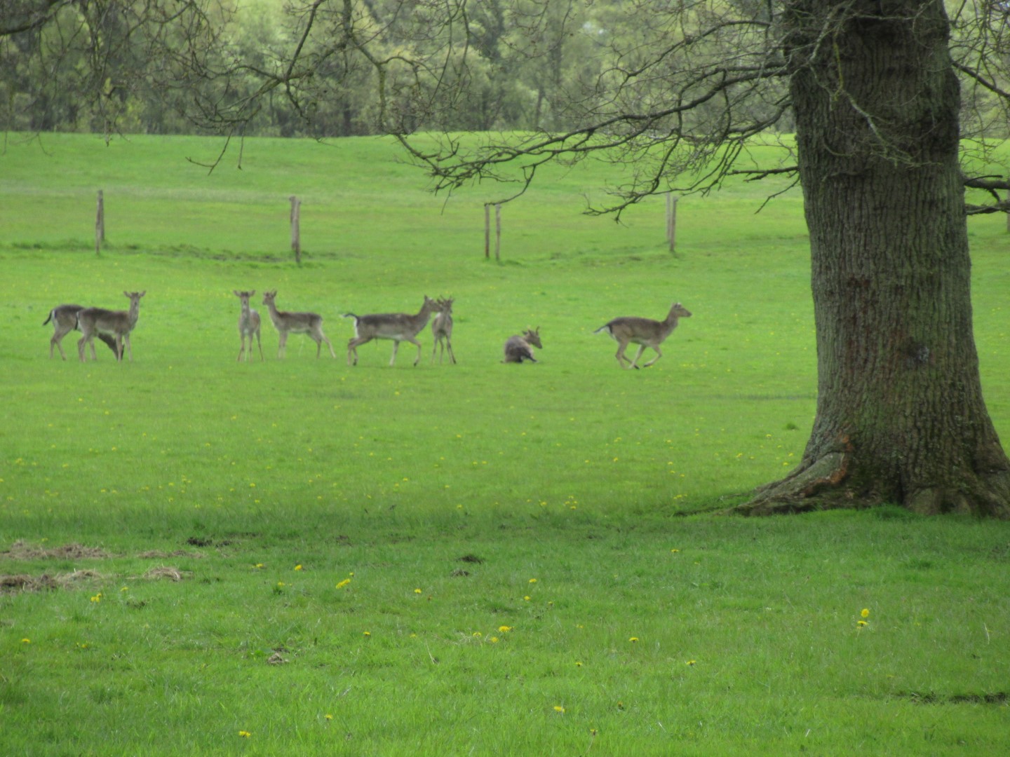
Deer leaving as they feel this field was not big enough for all of us
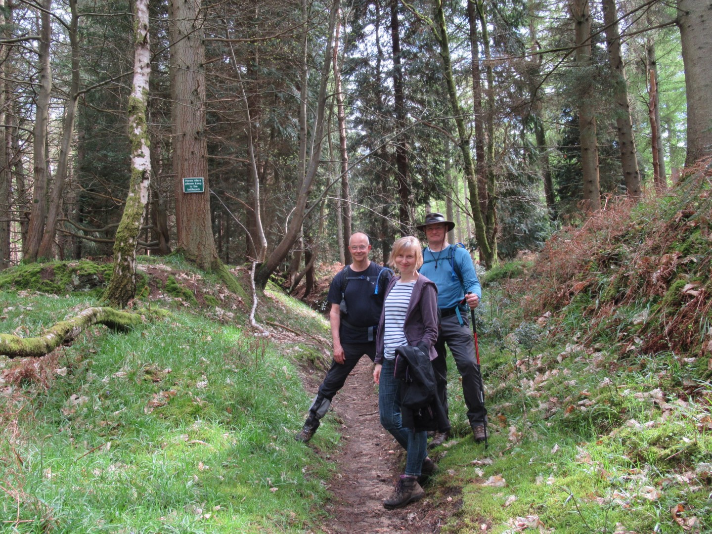
We could have split this walk
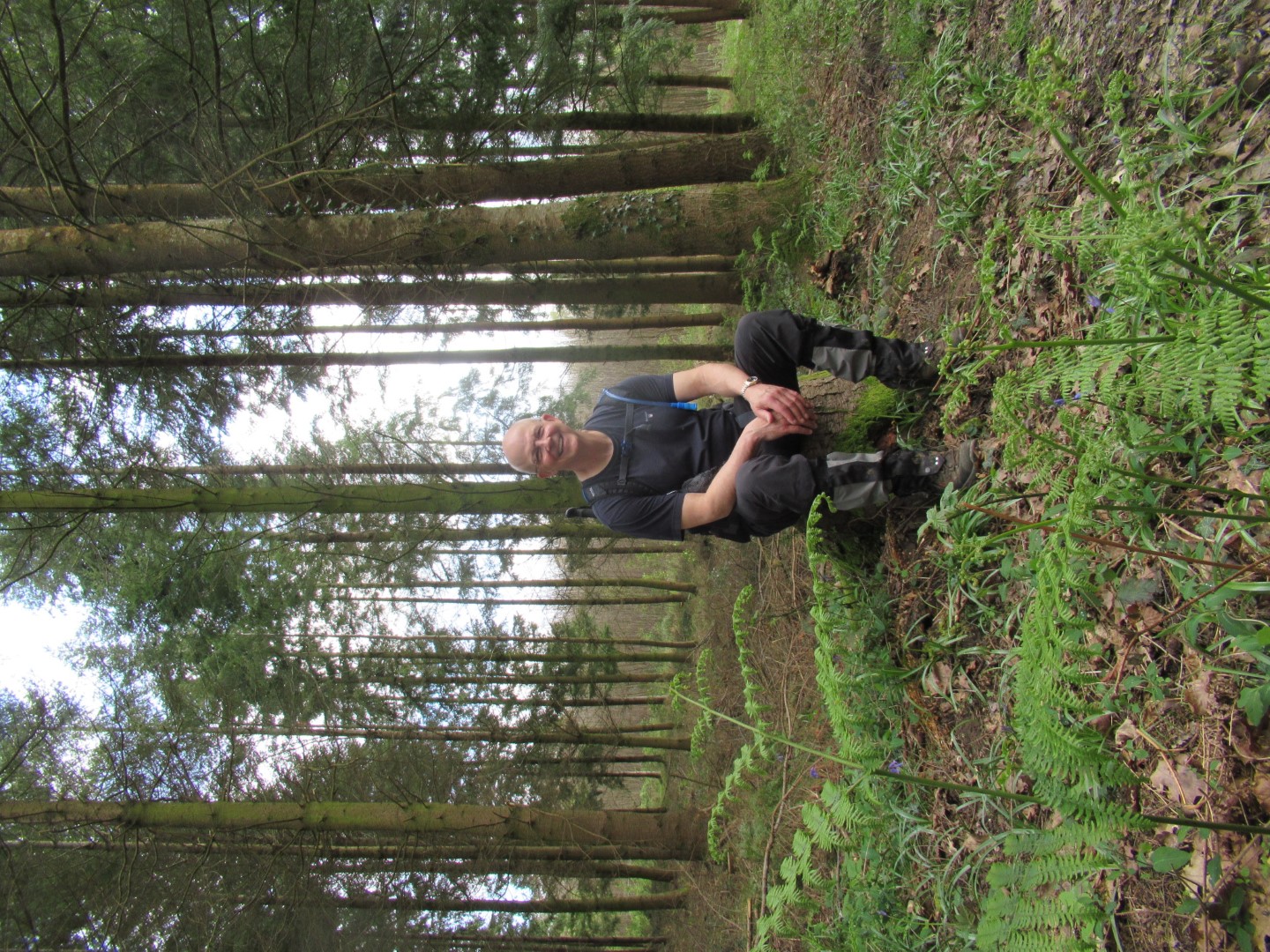
No, I’m not getting up, I’ve walked enough already
Recent galleries
- West Dean and Trundle Christmas Party walks
- South Harting walk on 3rd December 2025
- Winchester walk on 26th november 2025
- Stedham walk on 19th November 2025
- Farnham walk on 12th November 2025
History
2025
- December (2)
- November (4)
- October (5)
- September (4)
- August (4)
- July (5)
- June (4)
- May (5)
- April (4)
- March (5)
- February (3)
- January (4)
2024
- December (3)
- November (5)
- October (4)
- September (4)
- August (4)
- July (4)
- June (5)
- May (5)
- April (5)
- March (5)
- February (5)
- January (4)
2023
- December (3)
- November (6)
- October (5)
- September (5)
- August (3)
- July (4)
- June (6)
- May (5)
- April (4)
- March (5)
- February (4)
- January (4)
2022
- December (4)
- November (5)
- October (5)
- September (3)
- August (4)
- July (6)
- June (11)
- May (4)
- April (5)
- March (4)
- February (5)
- January (4)
2021
2020
- December (4)
- November (1)
- October (5)
- September (4)
- August (3)
- July (3)
- March (2)
- February (5)
- January (3)
2019
- December (2)
- November (5)
- October (4)
- September (3)
- August (4)
- July (4)
- June (11)
- May (5)
- April (4)
- March (3)
- February (5)
- January (5)
2018
- December (2)
- November (4)
- October (4)
- September (5)
- August (4)
- July (3)
- June (5)
- May (8)
- April (4)
- March (4)
- February (5)
- January (3)
2017
- December (3)
- November (5)
- October (3)
- September (4)
- August (4)
- July (4)
- June (11)
- May (4)
- April (4)
- March (3)
- February (4)
- January (5)
2016
- December (3)
- November (4)
- October (5)
- September (4)
- August (3)
- July (6)
- June (11)
- May (4)
- April (5)
- March (3)
- February (10)
- January (2)
2015
2014
- June (2)
1997
- February (1)